

Winter camping near Sounkyo by -18°C - Hokkaido - Japan
Credits: Gregor Neumann
Overview of ice climbing in Japan

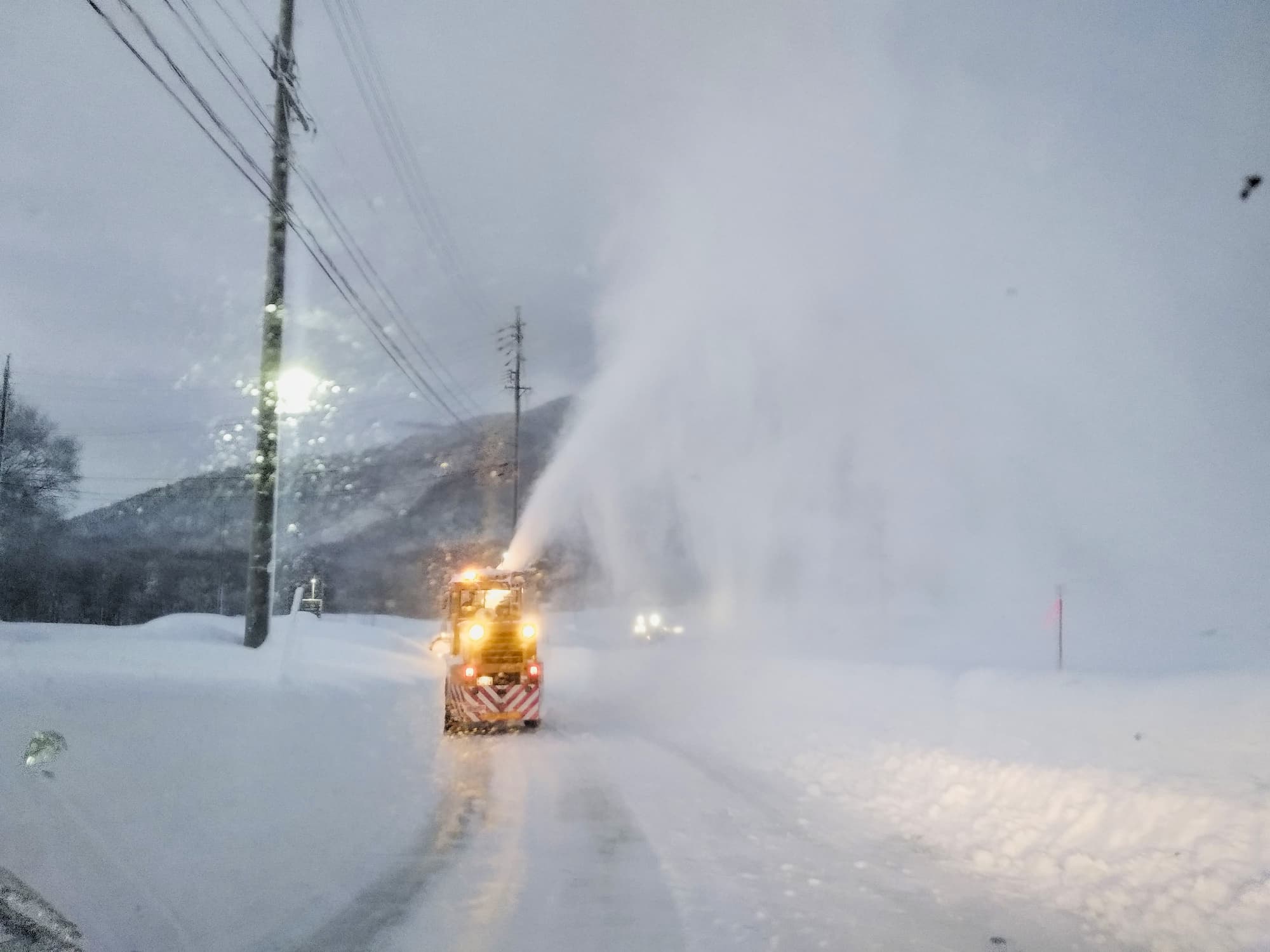
Winter car camping is common practice

It's bigger on the inside!

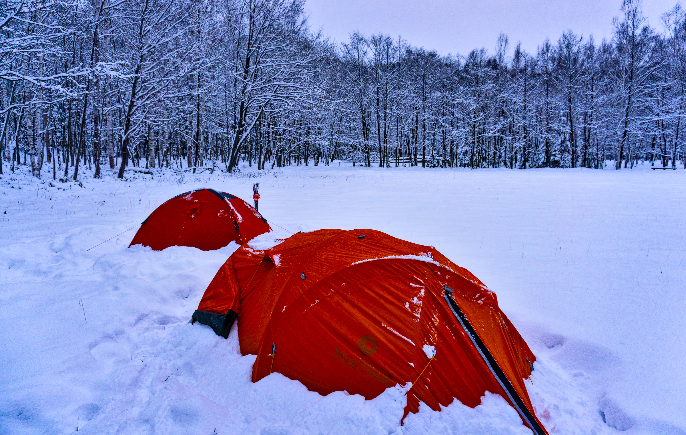
A good sleeping bag is a must!

A good sleeping bag is a must!

... and deep snow!

... but it's all worth it!

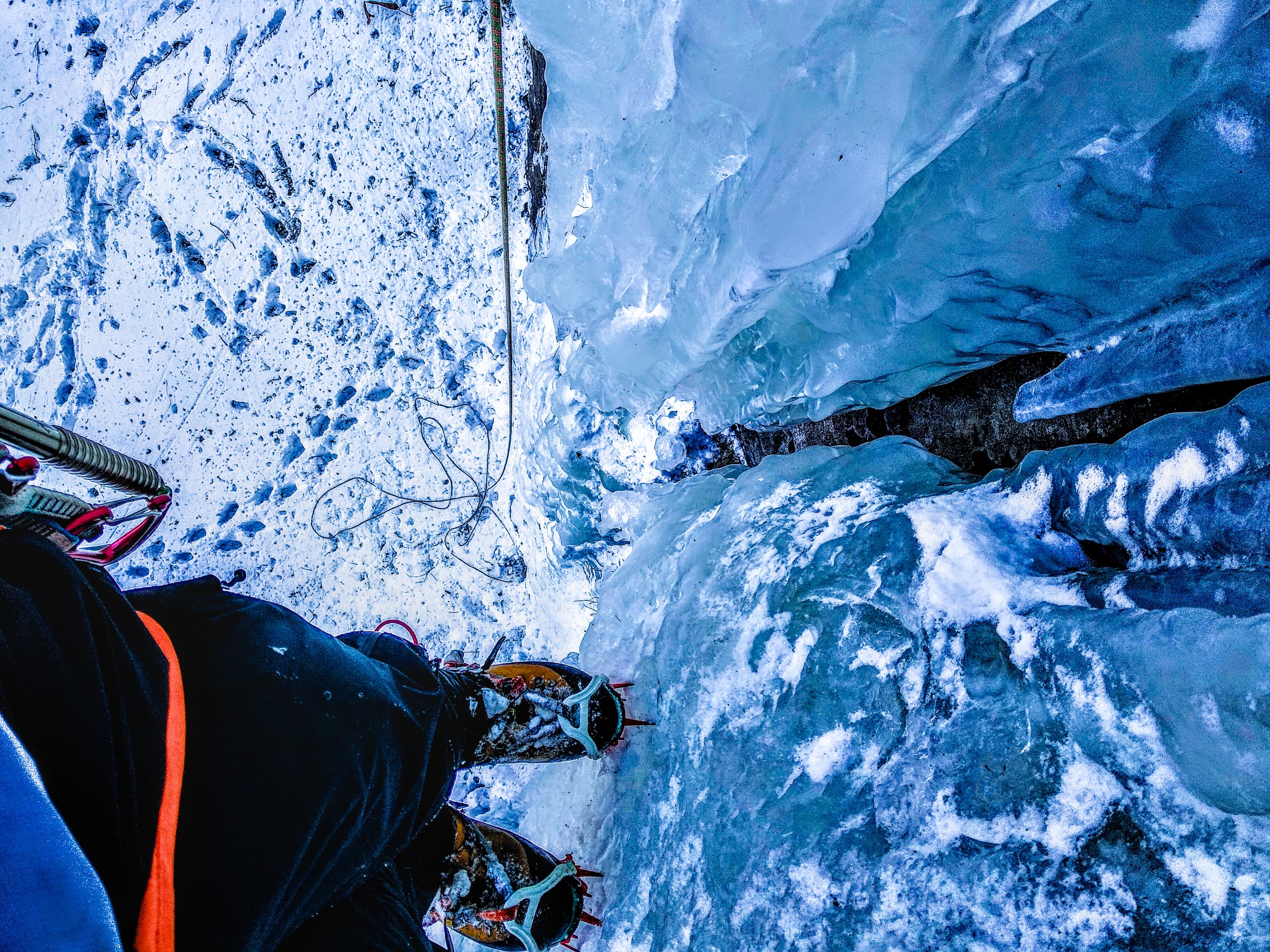
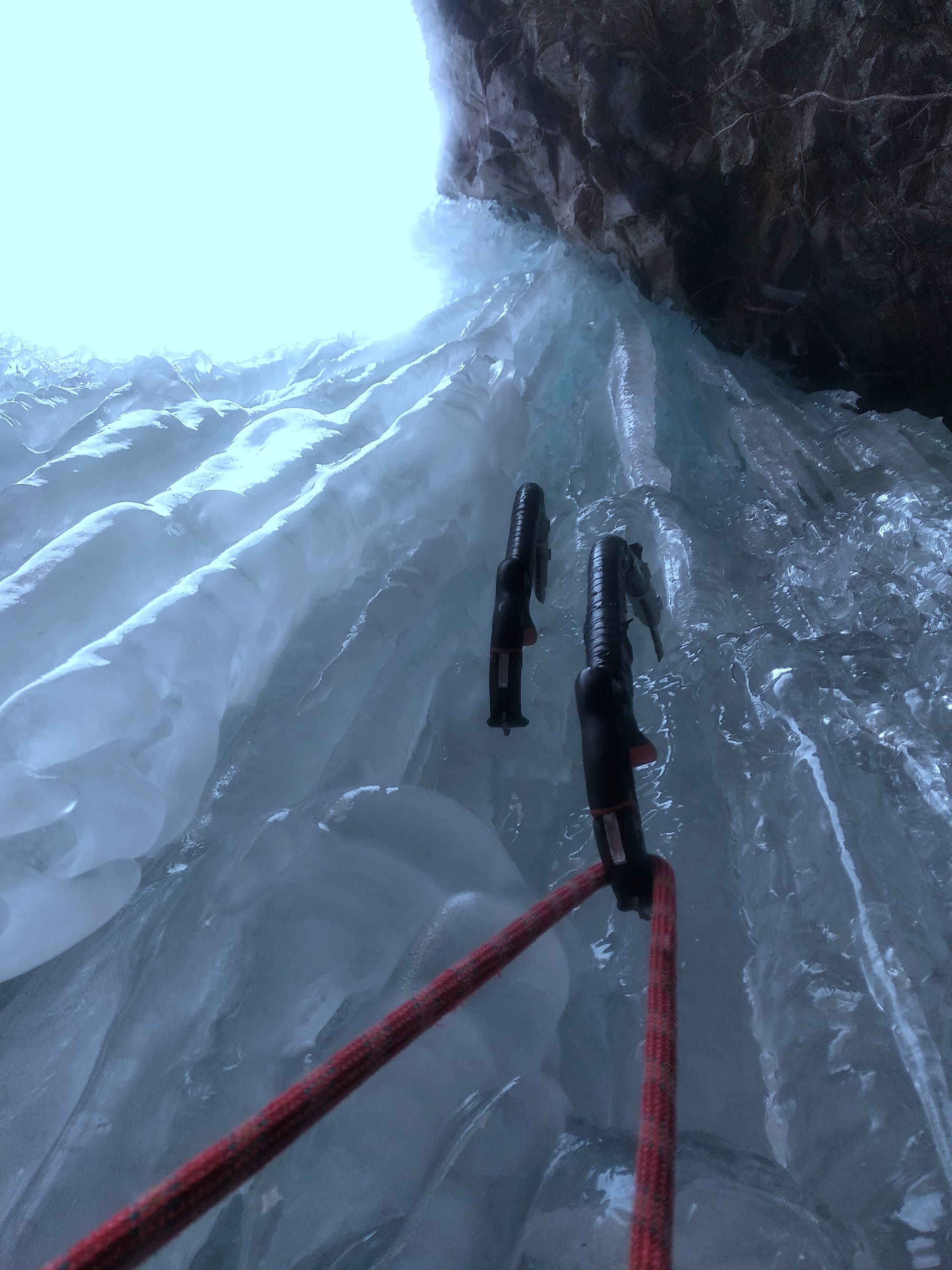
... cause you get to climb ice!
Honshu
Yatsugatake (八ヶ岳連峰)
- Access: The trailhead starts at the lodge 八ケ岳山荘. This trailhead is accessible by a combination of train and taxi (around 6000-8000yen from the station). You can sleep there for cheap if needed. If you have a car with winter tires and chains, depending on road conditions, you might be able to make it as far as the lodge 赤岳山荘, which saves about 3km of walking. Note that this dirt road tends to be very icy, take care. From there, walk for about 2 hours along the trail leading to the Akadake Kosen Hut 赤岳鉱泉. It is very common to camp around the hut for a small fee. From the hut, one can access the many climbing options around.
- Accomodation: Camping or Hut
- Information
- Website Akadake Kosen / Gyosha Hut
- Instagram @akadakekousen_gyoujyagoya
- Facebook @akadake1959
- Difficulty: Lots of choice from very easy WI3 to hard ice/mixed climbs
- Classic climbs:
- Akadake Kosen Ice Candy: Artificial ice fall next to the hut. Rental gear is available at the hut. Toprope only (I believe that you need to bring your own rope).
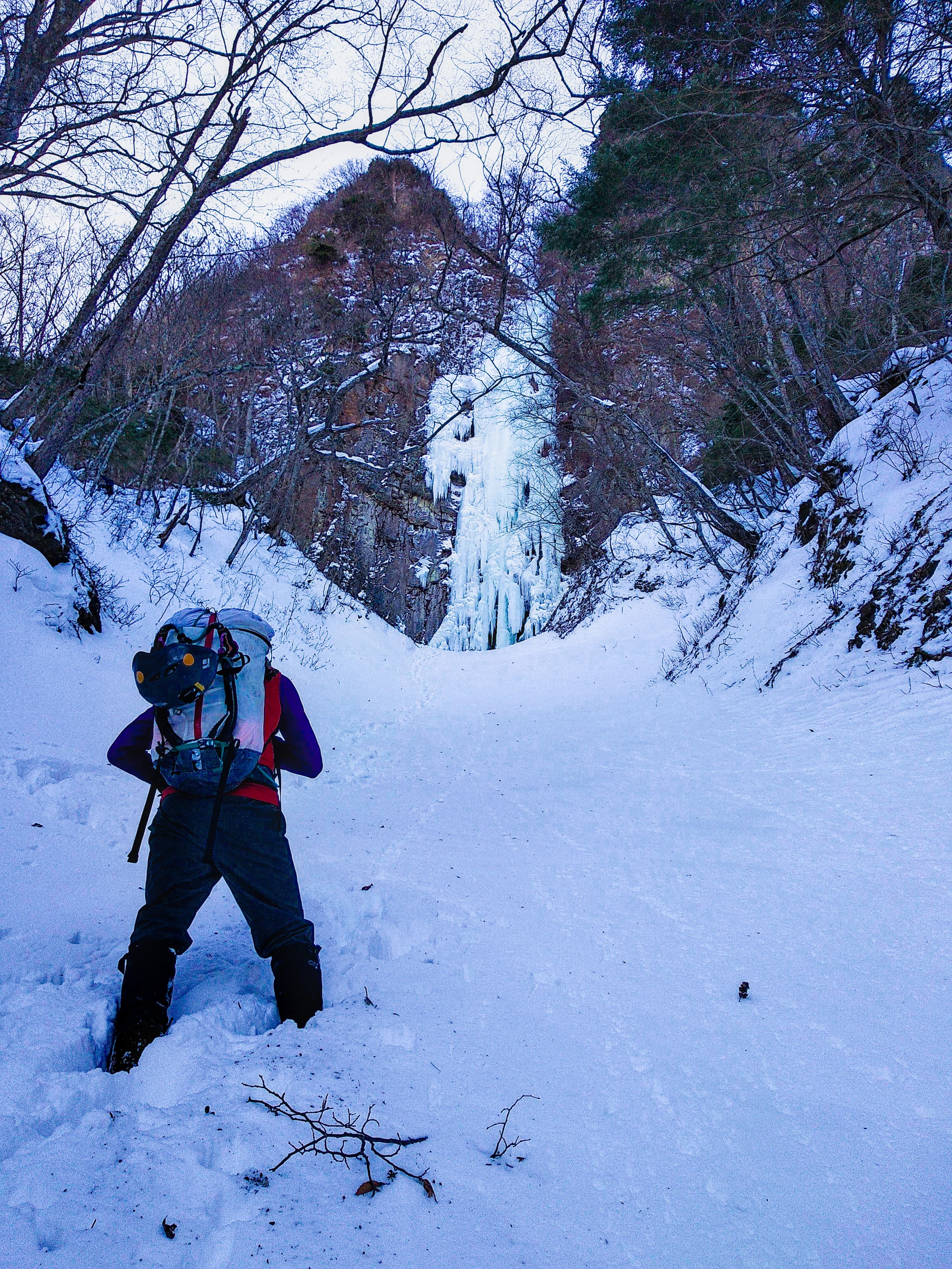
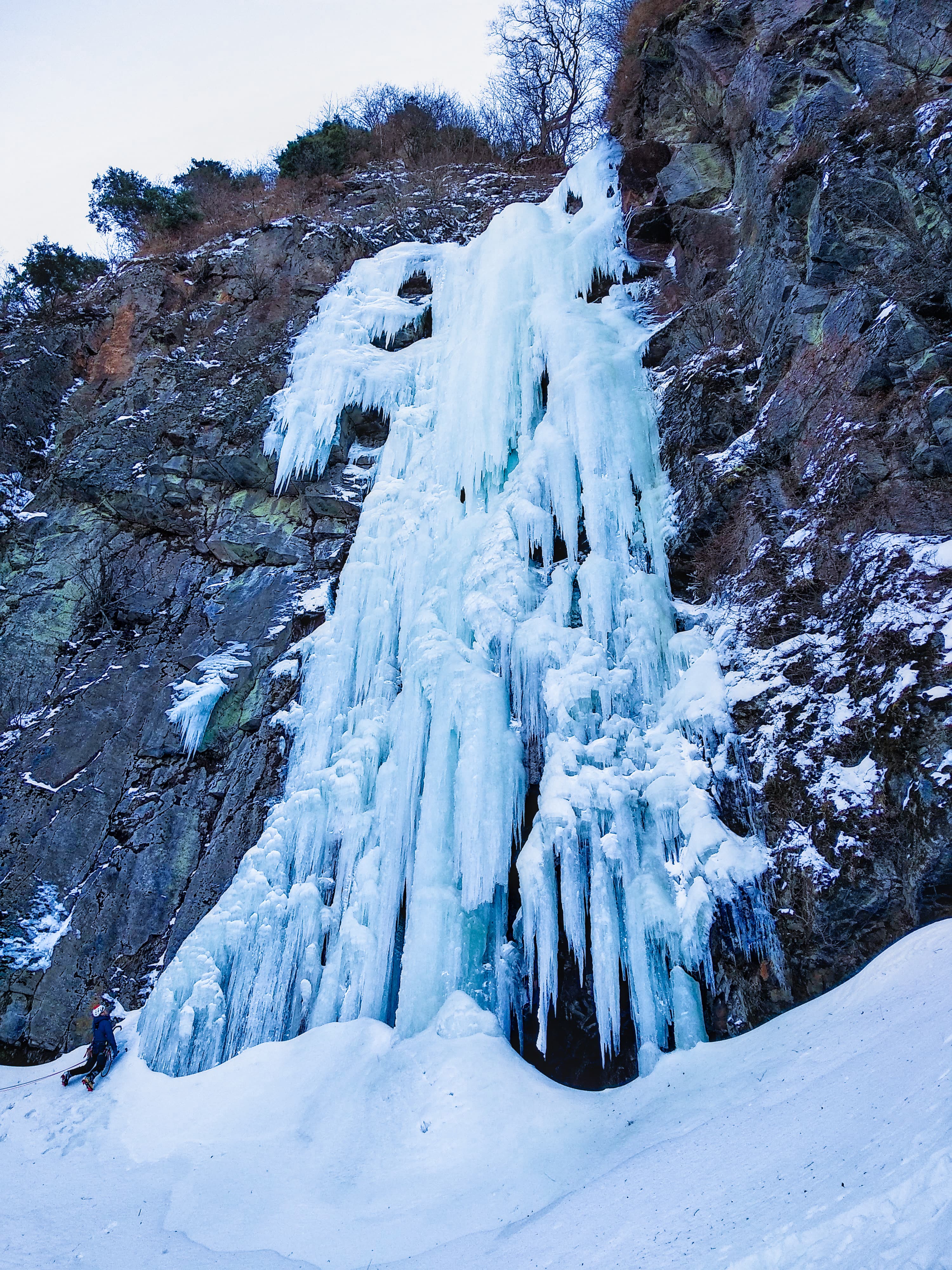
- 大同心 waterfall ([MAP] / [GPX]): ~50m waterfall, WI4. From the hut, walk up the trail through the forest. The trail eventually turns to the left and the path ahead is blocked by a rope. There pass under the rope and continue up the riverbed until you reach the base of the waterfall. For a more complete adventure you can continue climbing the couloir above and link it with the classic mixed climb of Shodoushin Crack (小同心クラック) (full route description), or of the Daidoushin Ryo (full route description).
- West face Shu-ryo of Akadake (赤岳主稜) (route description). Easy mixed climbing leading to the ridge just short of the summit of Akadake.
- There is another popular waterfall at 35°58'37.5"N 138°20'52.3"E. From Akadake Kosen, walk to the next hut 行者小屋. Just after the hut, take the path leading down on your right until you reach the river. From there follow the river until you reach the waterfall, about a hundred meters up on your left accross the river.
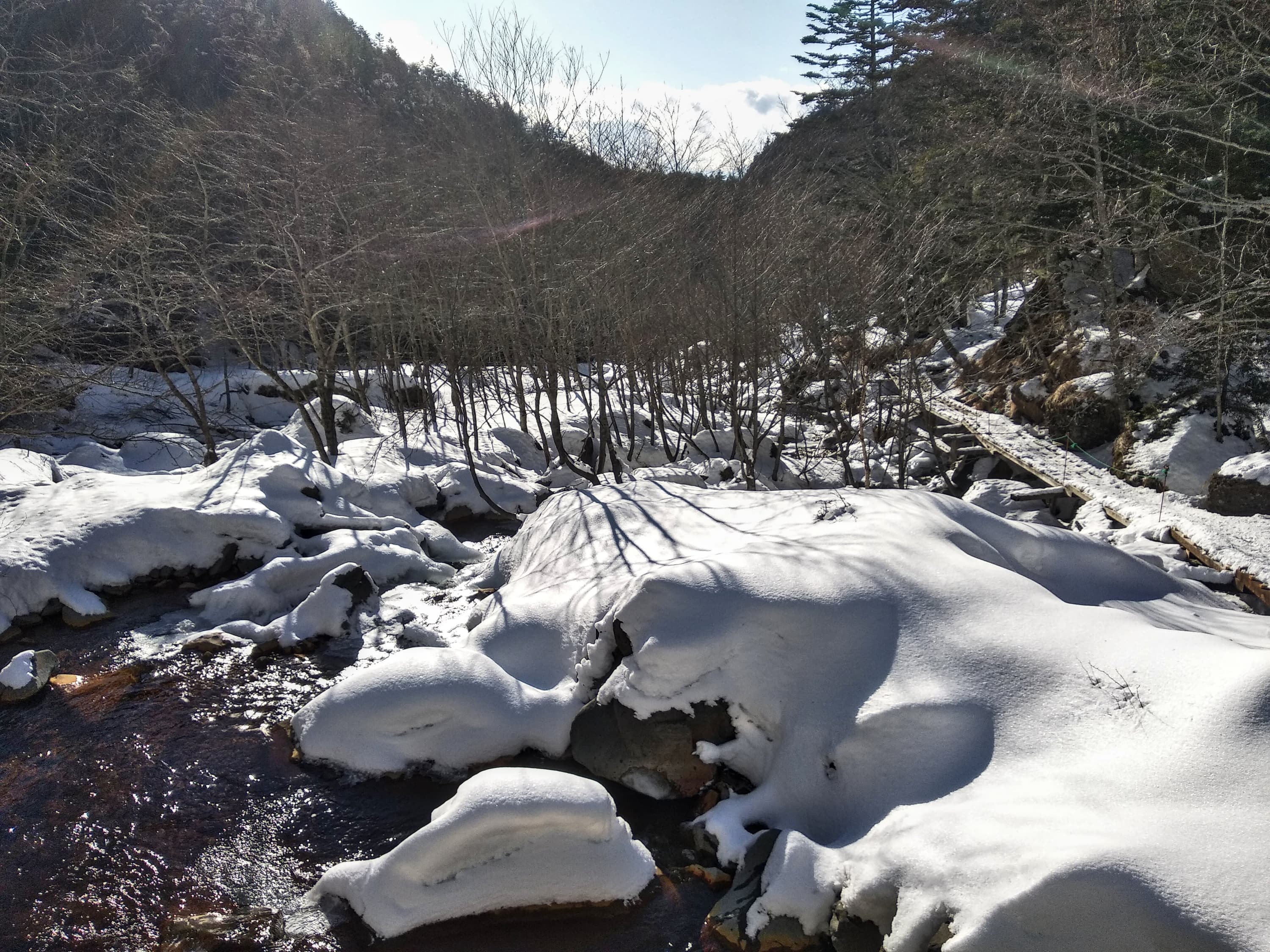
Approach towards the Akadake Kosen Hut

Akadake Kosen

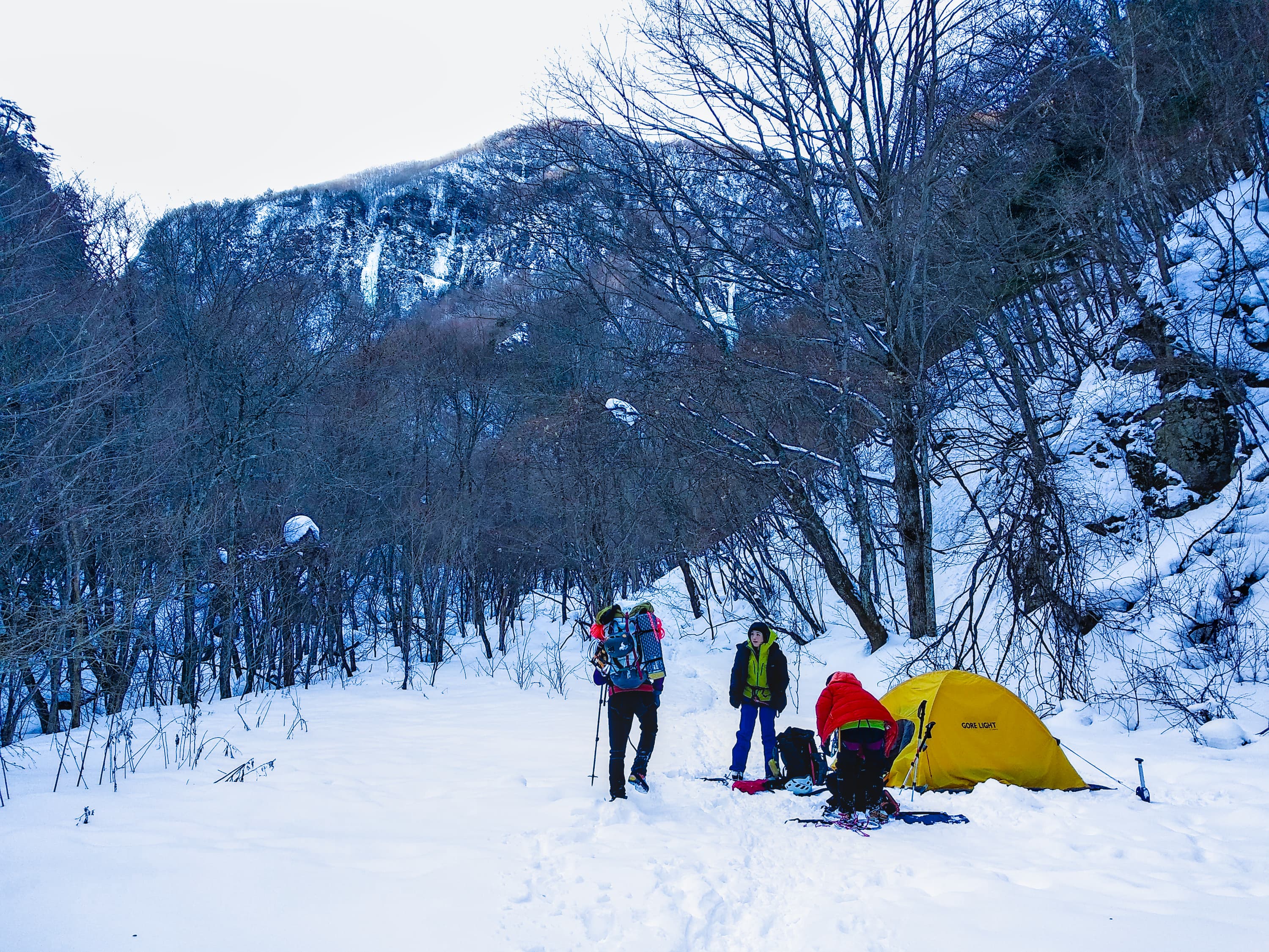
Cold tent bivy
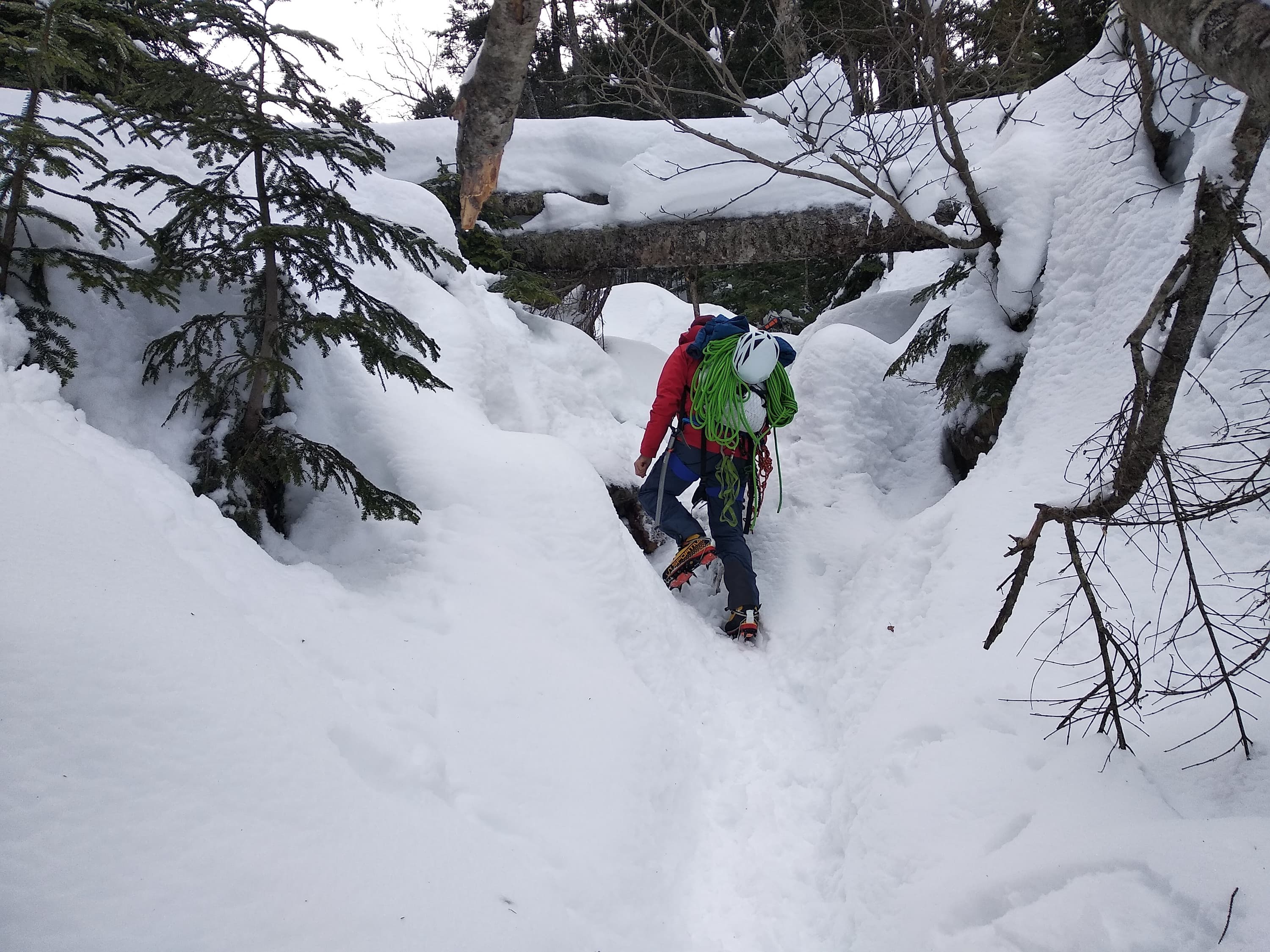
Approach towards 大同心
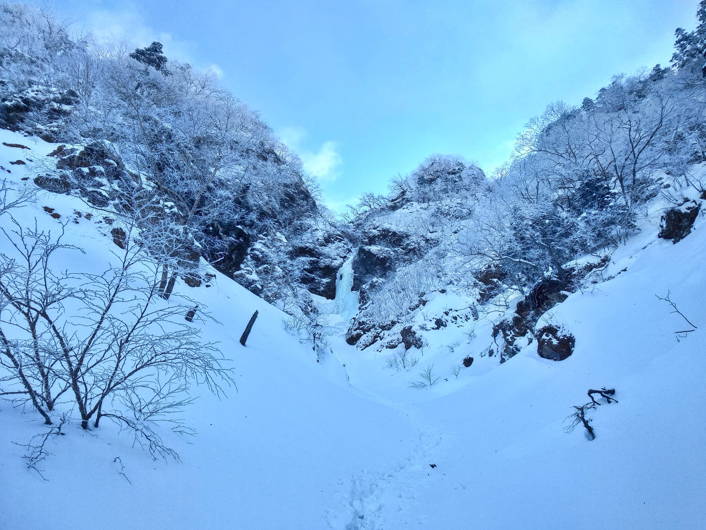
大同心 (WI4, 50m)
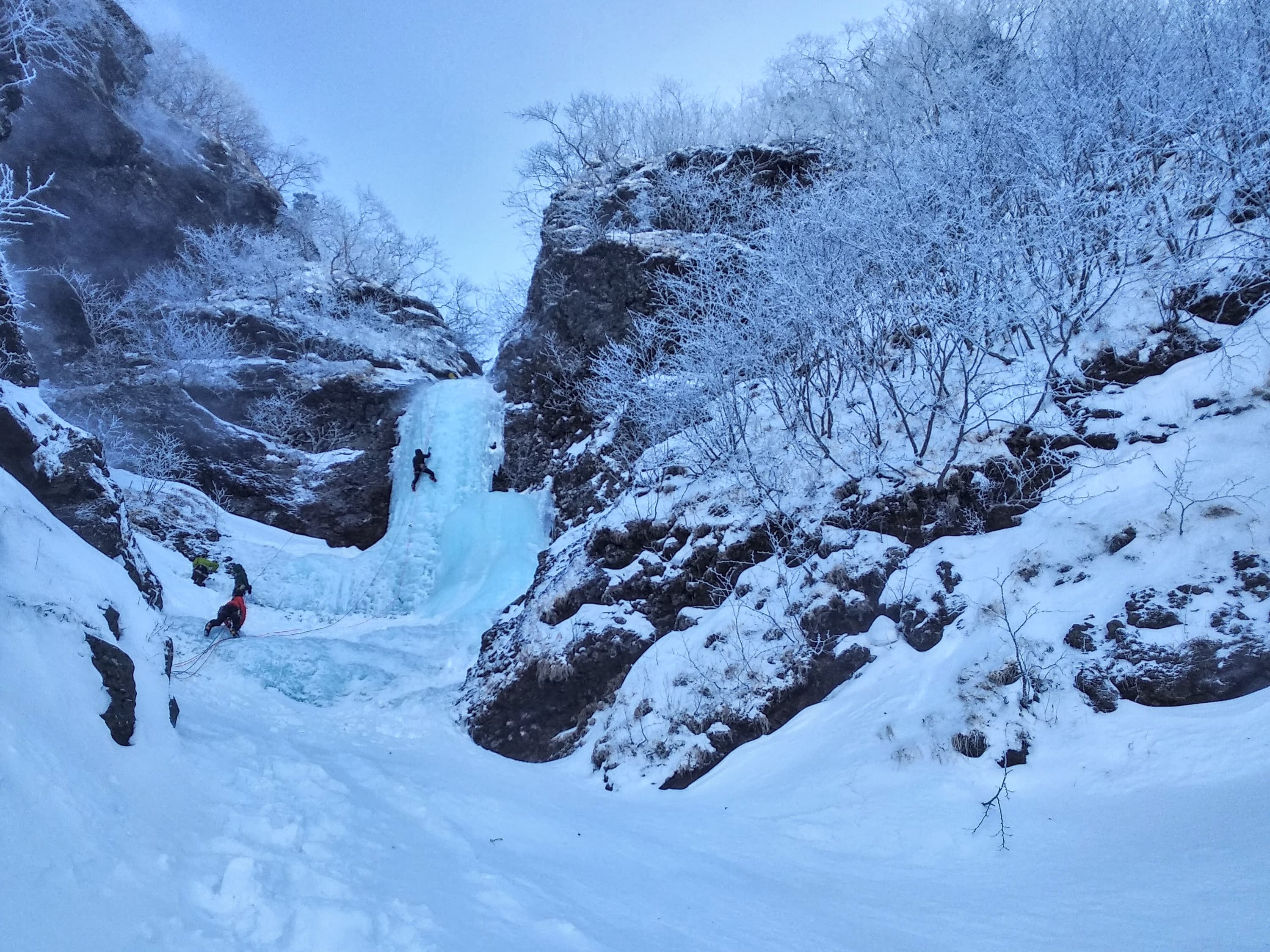
大同心 (WI4, 50m)
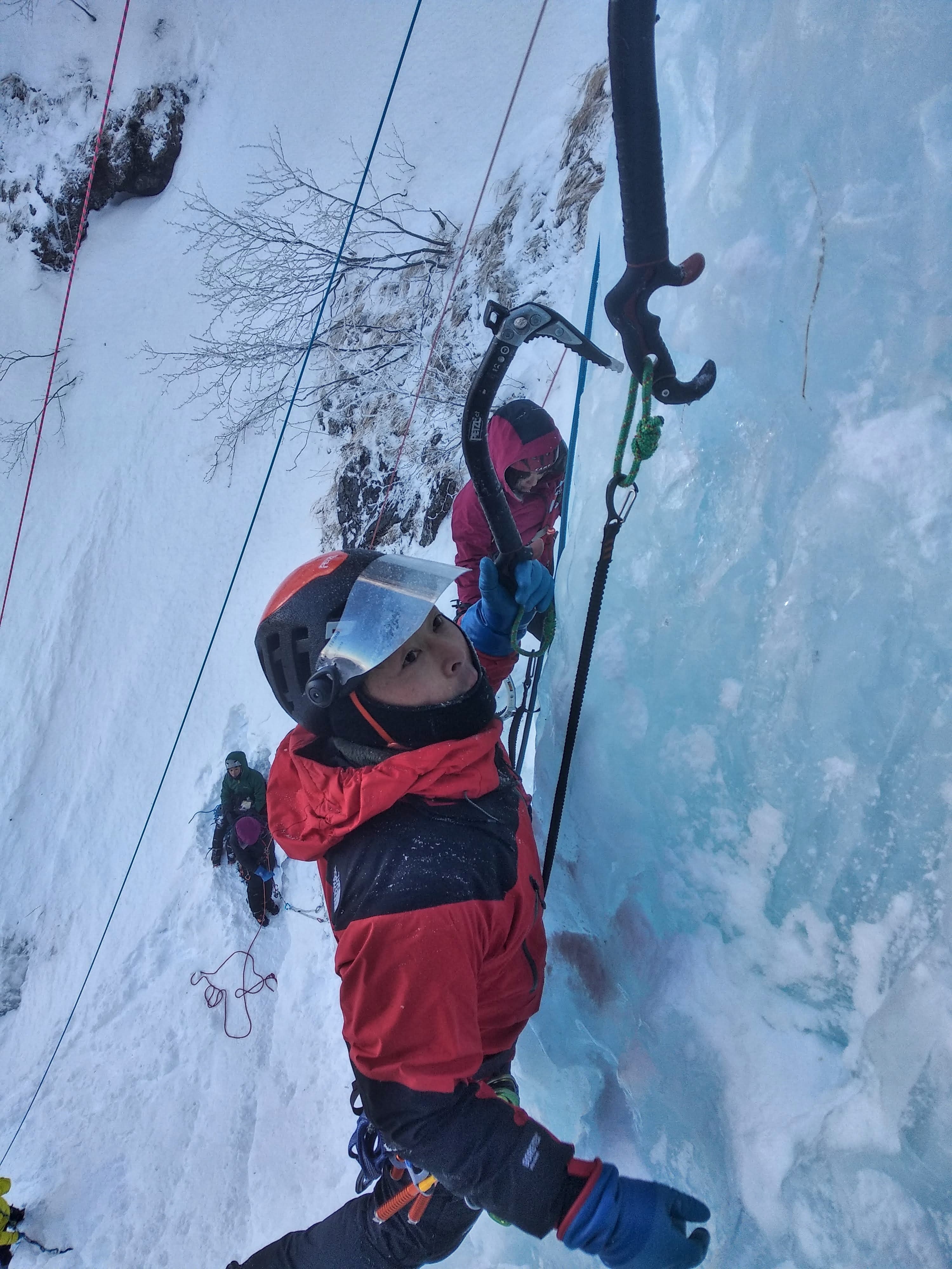
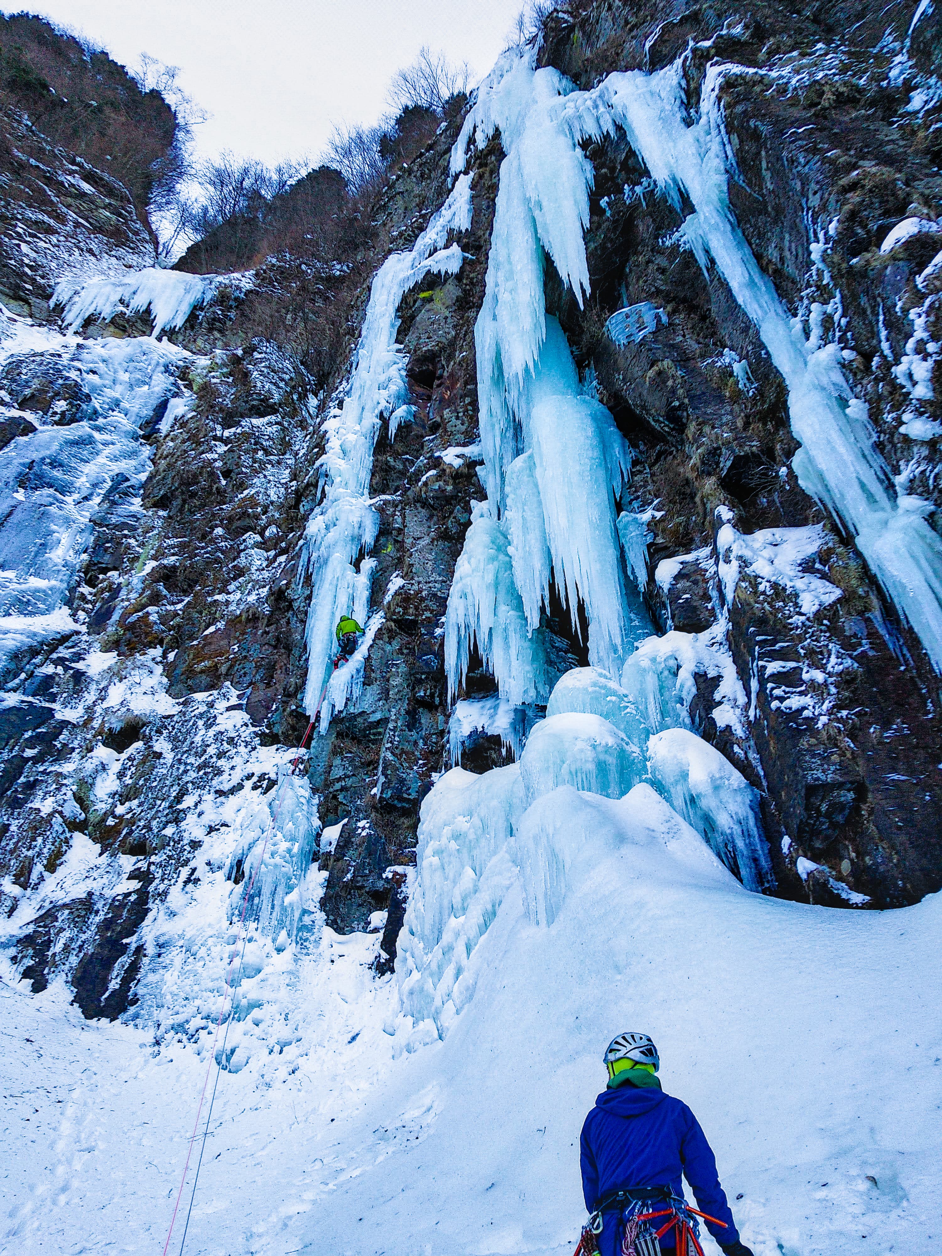
Japanse climber in 大同心
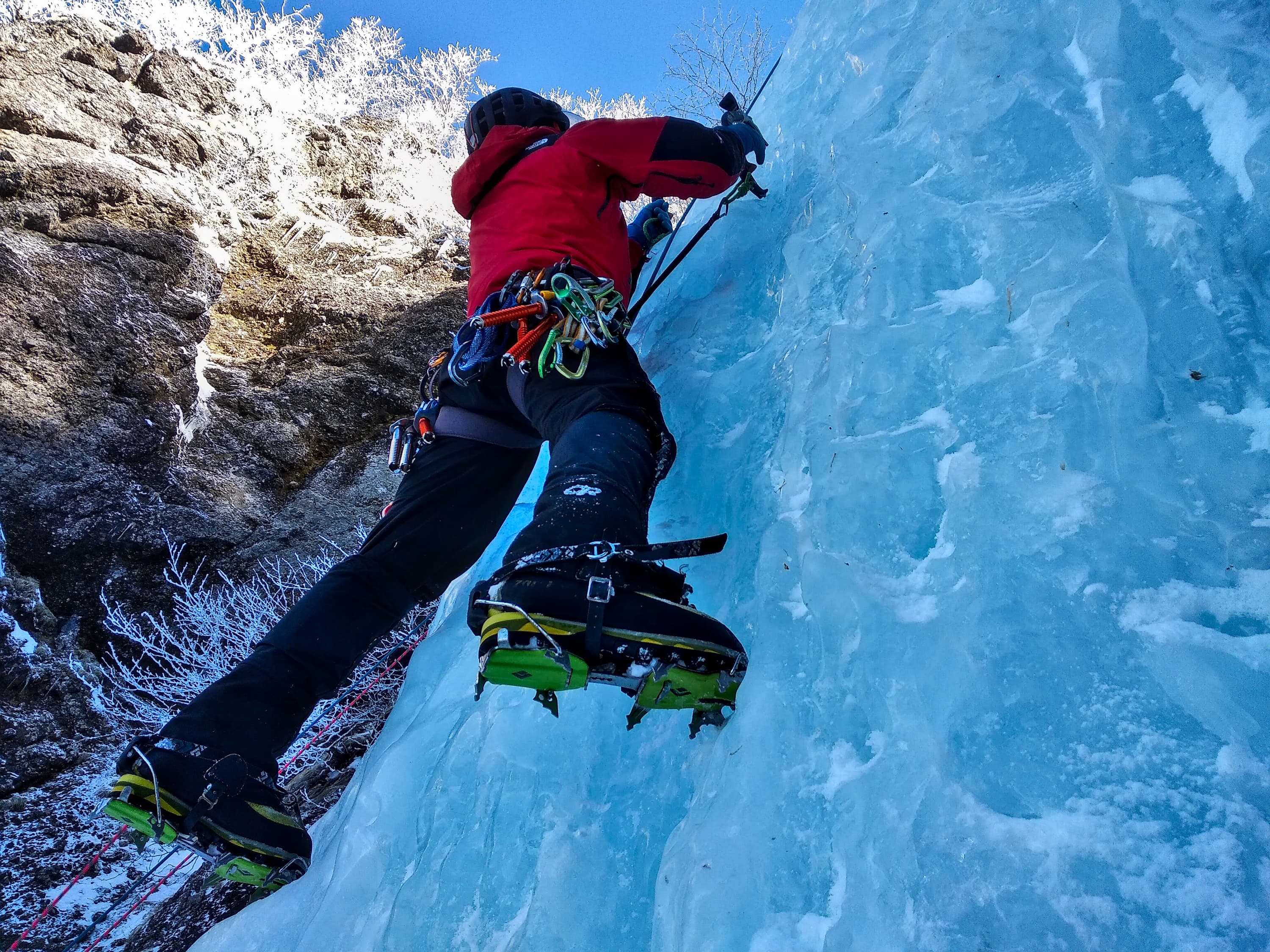
Japanse climber in 大同心
Left: Daidoshin (大同心稜), Right: Shodoushin Crack (小同心クラック)
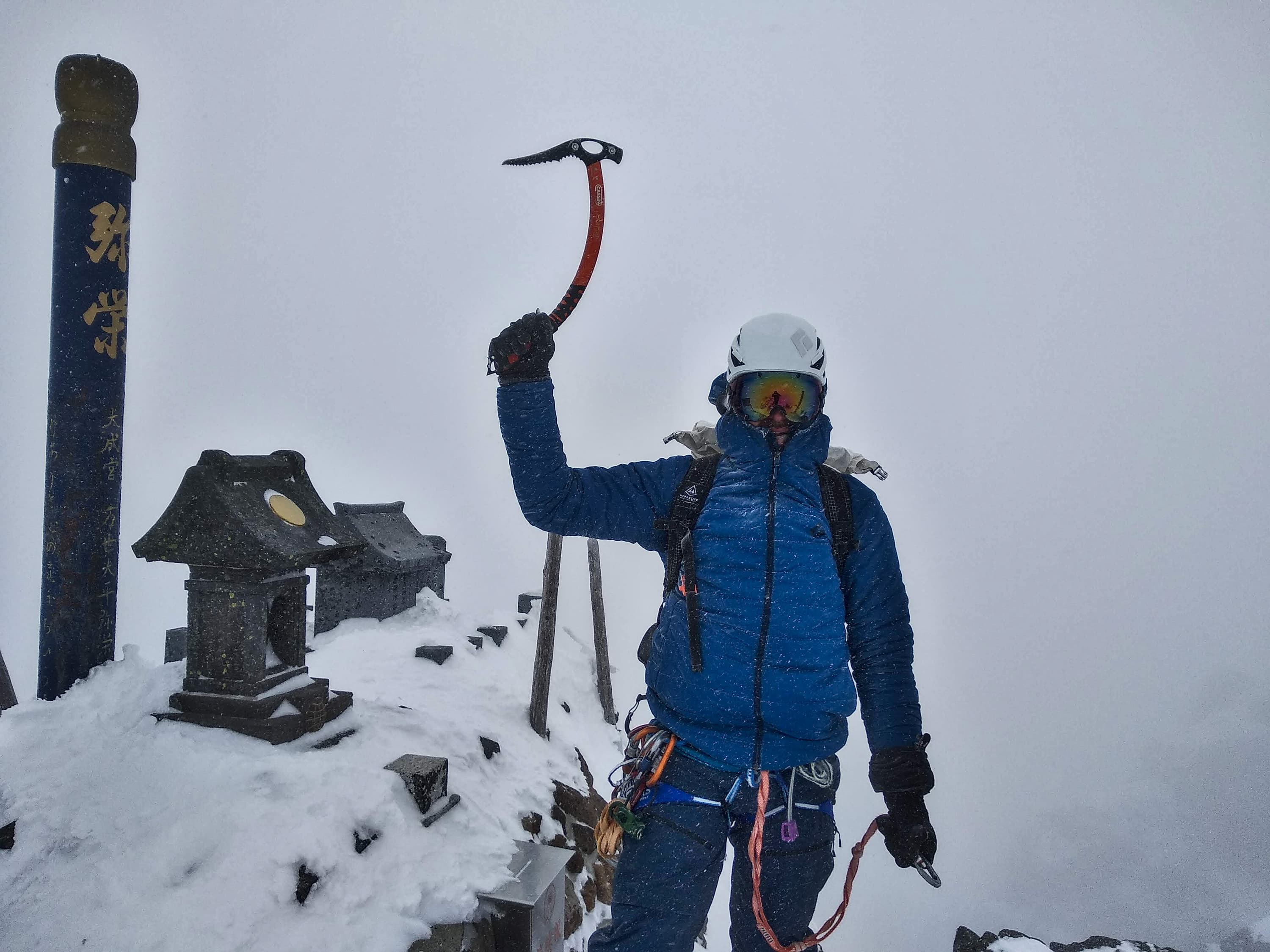
Reaching the summit of Shodoushin Crack (小同心クラック)
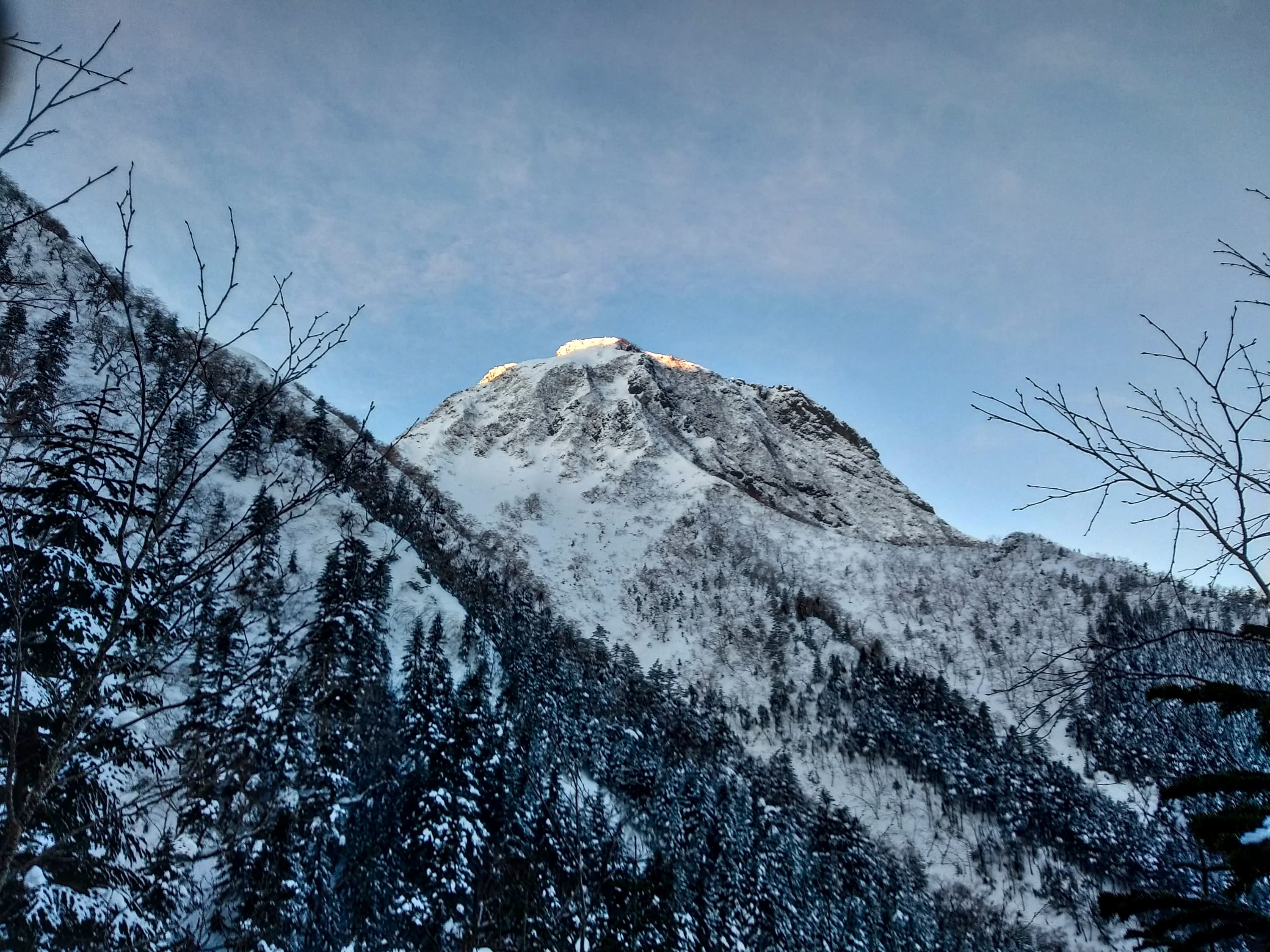
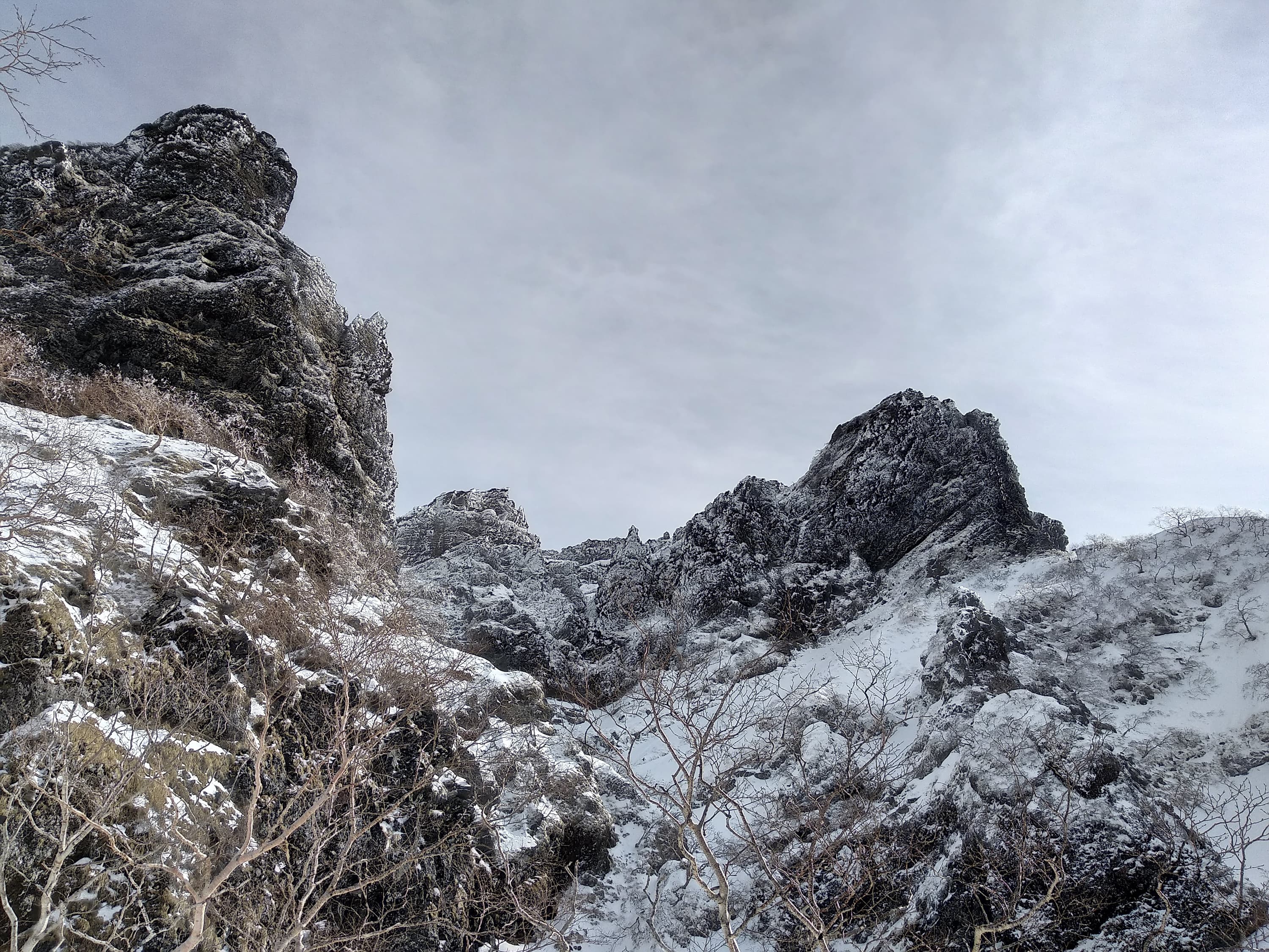
Mount Akadake
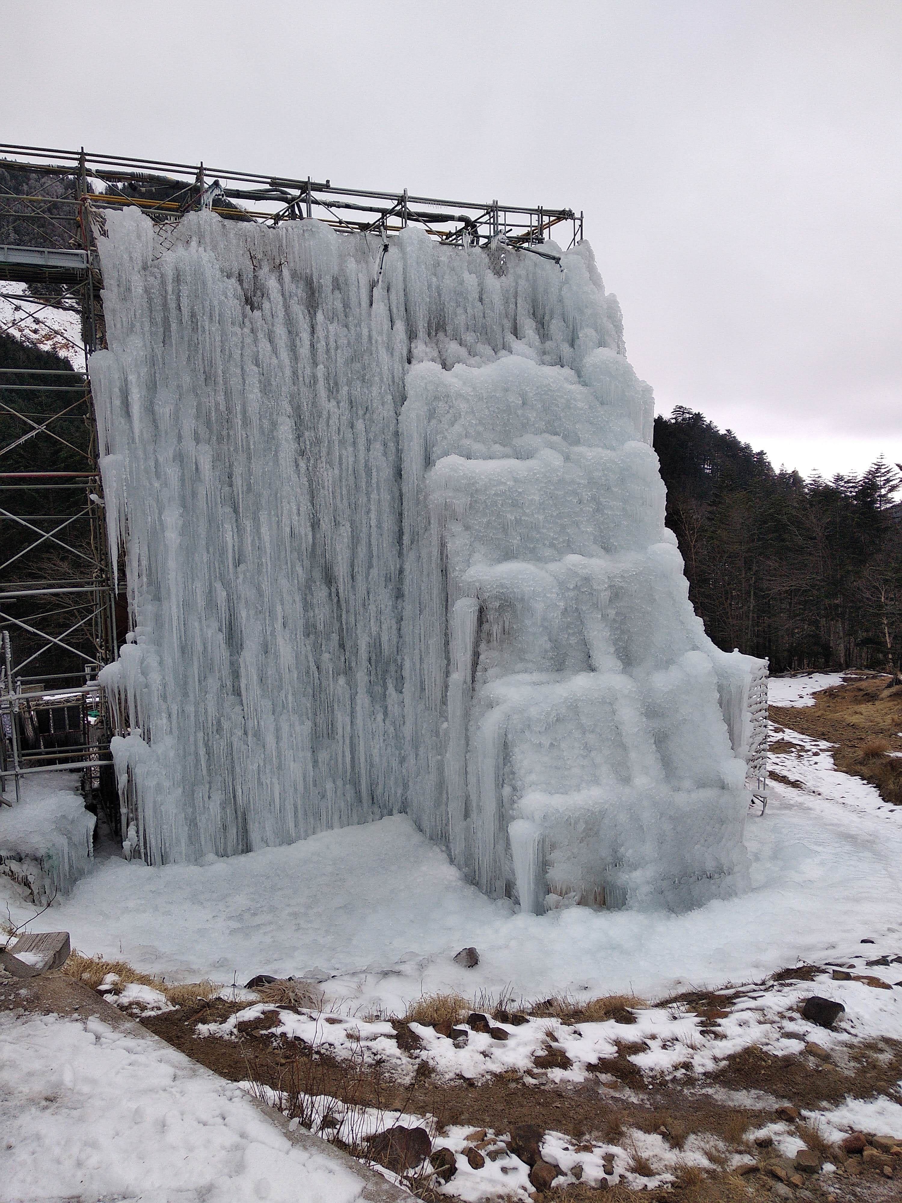
The Ice Candy artificial icefall next to Akadake Kosen
Yonagofudo
- Access: The road leading to Yonagofudo is only partially cleared in the winter. You should be able do drive until an intersection a few hundreds meters after the 水神様 shrine, about here. If you're lucky you might be able to keep making it up the road until reaching a closed barrier a few kilometers higher. Watch out as you might very well be able to drive up on the hard packed snow in the early morning but might not be able to make it back down in the afternoon after the snow has softened (last time I went there my kei car bottomed out and got stuck and we had to dig it out). I've heard similar stories from multiple locals. Upon reaching the barrier up the road, keep walking (snowshoes or skis) for about 2 to 3 hours until you eventually see the falls in front of you. There is a bridge on your left, ignore it and keep going straight towards the falls. About 100m after the bridge is the area where people typically camp. Store the gear you don't need there, and keep going towards your project :)
- Difficulty: Very hard. WI4 and above, with a large majority of harder multipitch falls (WI5, WI6).
- Weather conditions: Generally mild weather with cold temperatures.
- Accomodation: Wild bivy
- [GPX access]: the track goes from the road barrier past the campground until Anaconda/Cobra ice falls then returns to the camp near the bridge
- Best period: Late January to early February. Most falls are WI5 and above, with many pillars and hanging structures. They tend to form late in the season and remain in conditions for short periods of time.
- Classic climbs:
- Cobra: 120m, WI5 with a snow slope between the firsts and last pitches [GPX approach from camp] (rightmost climb in this area)
- Cobra left: WI5+/WI6, left of Cobra, this route is rarely in condition [a few meters left of Cobra]
- Anaconda (WI4+, 3 pitches) [left of Cobra Left]
- Dragon God (WI4, ~60m) [left of Anaconda ~50m walk]
Bivouac with icefalls in the background
Approach to Dragon God
Dragon God Icefall - WI4

Cobra - WI5

Cobra - WI5
Exiting on the snow slopes above Cobra
Cobra Left - WI5+
Above the crux of Cobra Left
Oyafudo


Arafuneyama
- Access: The trailhead is located around the shinto shrine 荒船神社奥の院
- Accomodation: You can sleep in your car at the trailhead (but the parking lot is small and not flat). From there you can reach two separate areas. Aizawa is reached by following the road for a while and taking a trail to the right along the river
- Difficulty: Easy to hard. WI3+ and above
- Classic climbs:
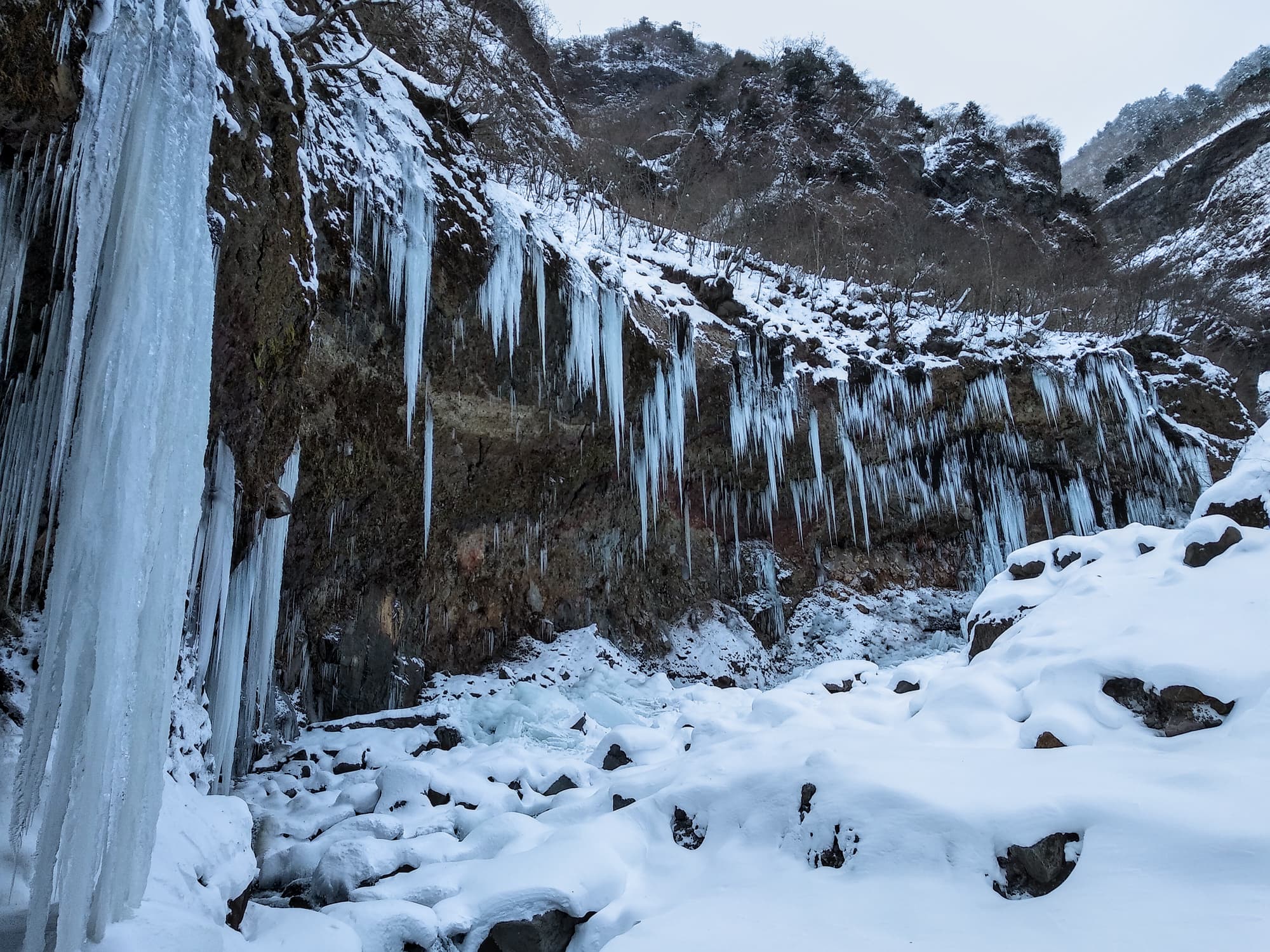
- Dog Killing Waterfall (犬殺しの滝 - Inukoroshi no Taki) - WI4 pillar, ~50m
- GPX access: Don't follow the uphill bend in the path towards the end of our approach (wrong), instead keep on following our return path along the river until you reach the fall.
- Aizawa Black Wall (相沢奥壁大氷柱) - WI4+, 50m (GPX access).
- Aizawa (相沢) - April's Fool (エイプリルフール) (GPX access) - WI4. Multiple possible lines, and about 3 pitch route.
- There are also mixed routes and gullies, and some harder ice falls
- Dog Killing Waterfall (犬殺しの滝 - Inukoroshi no Taki) - WI4 pillar, ~50m
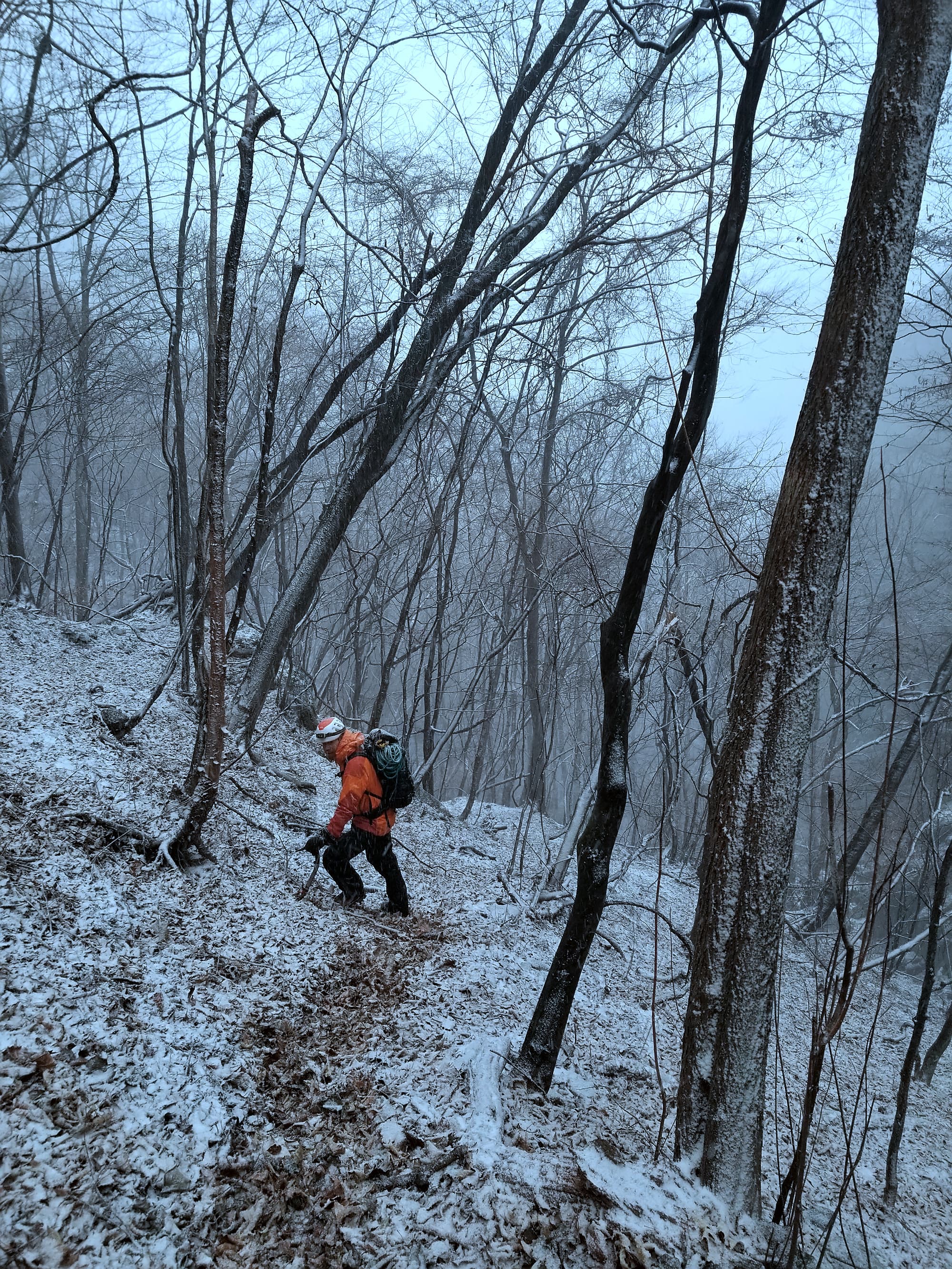
Annoying approach through the forest

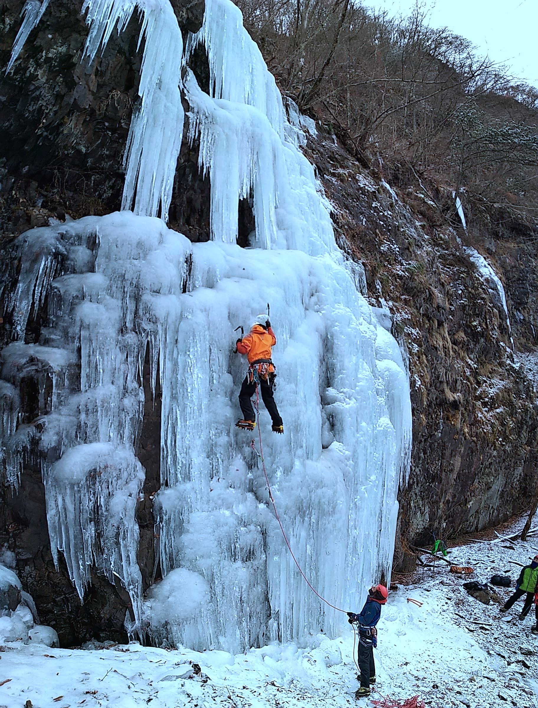
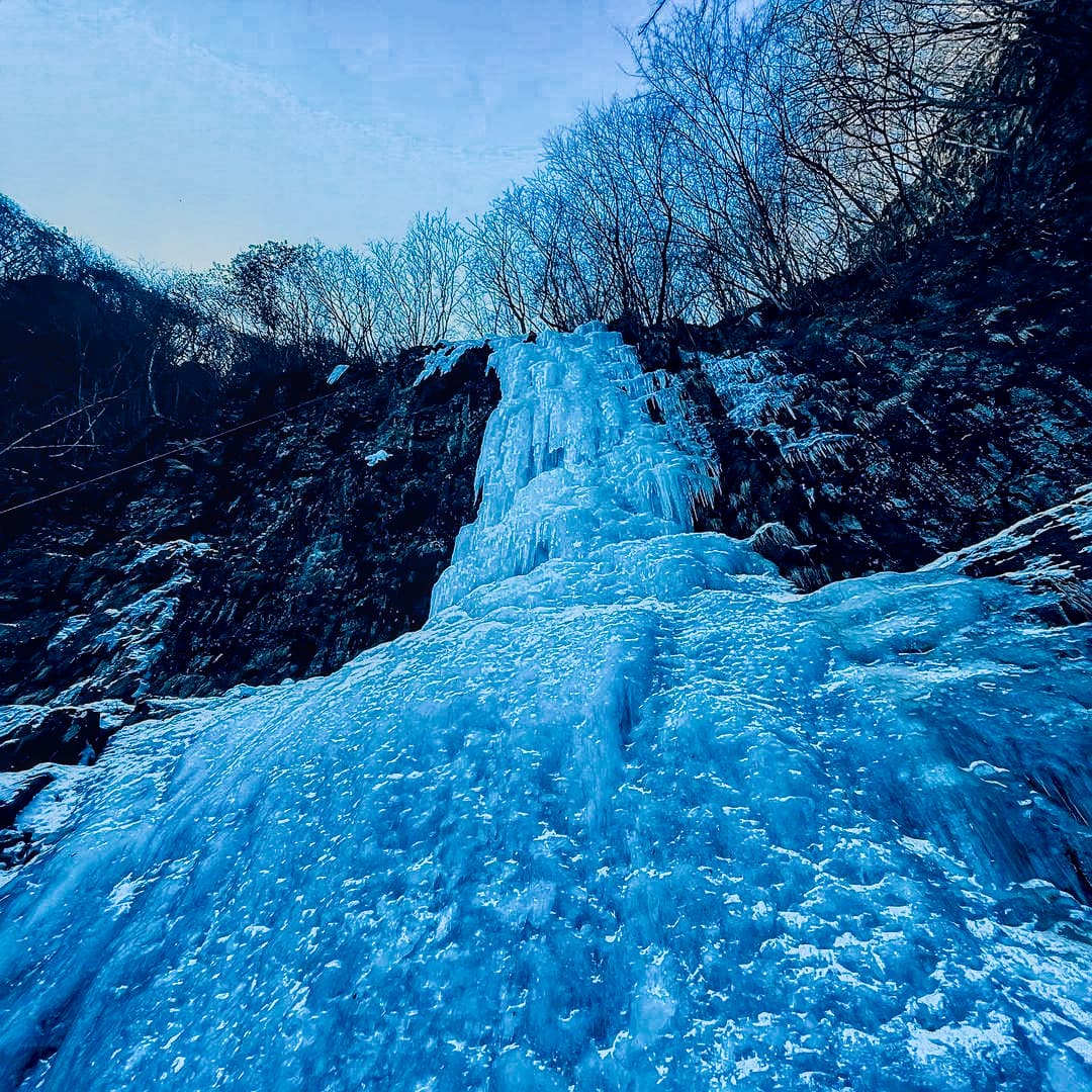
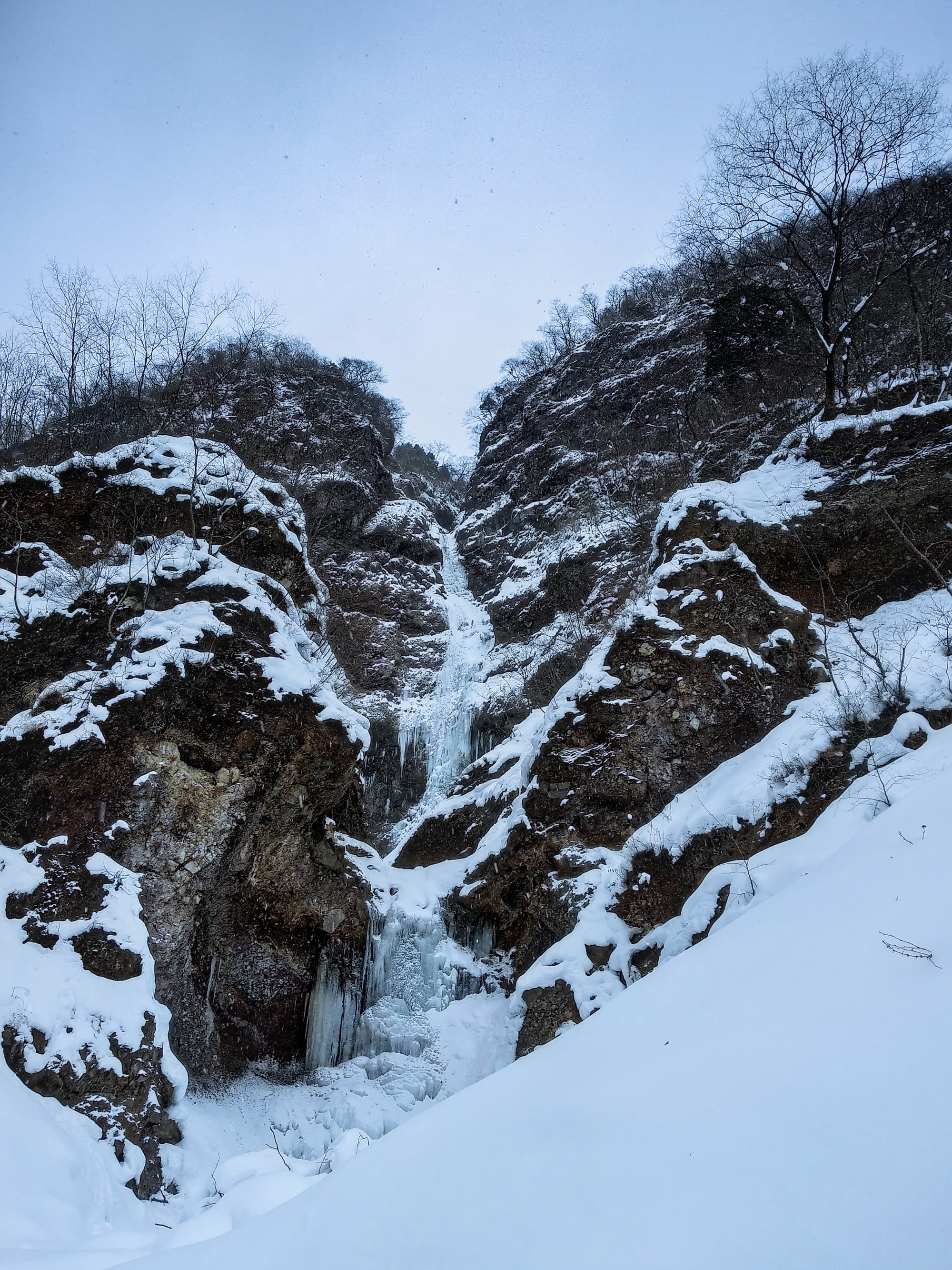
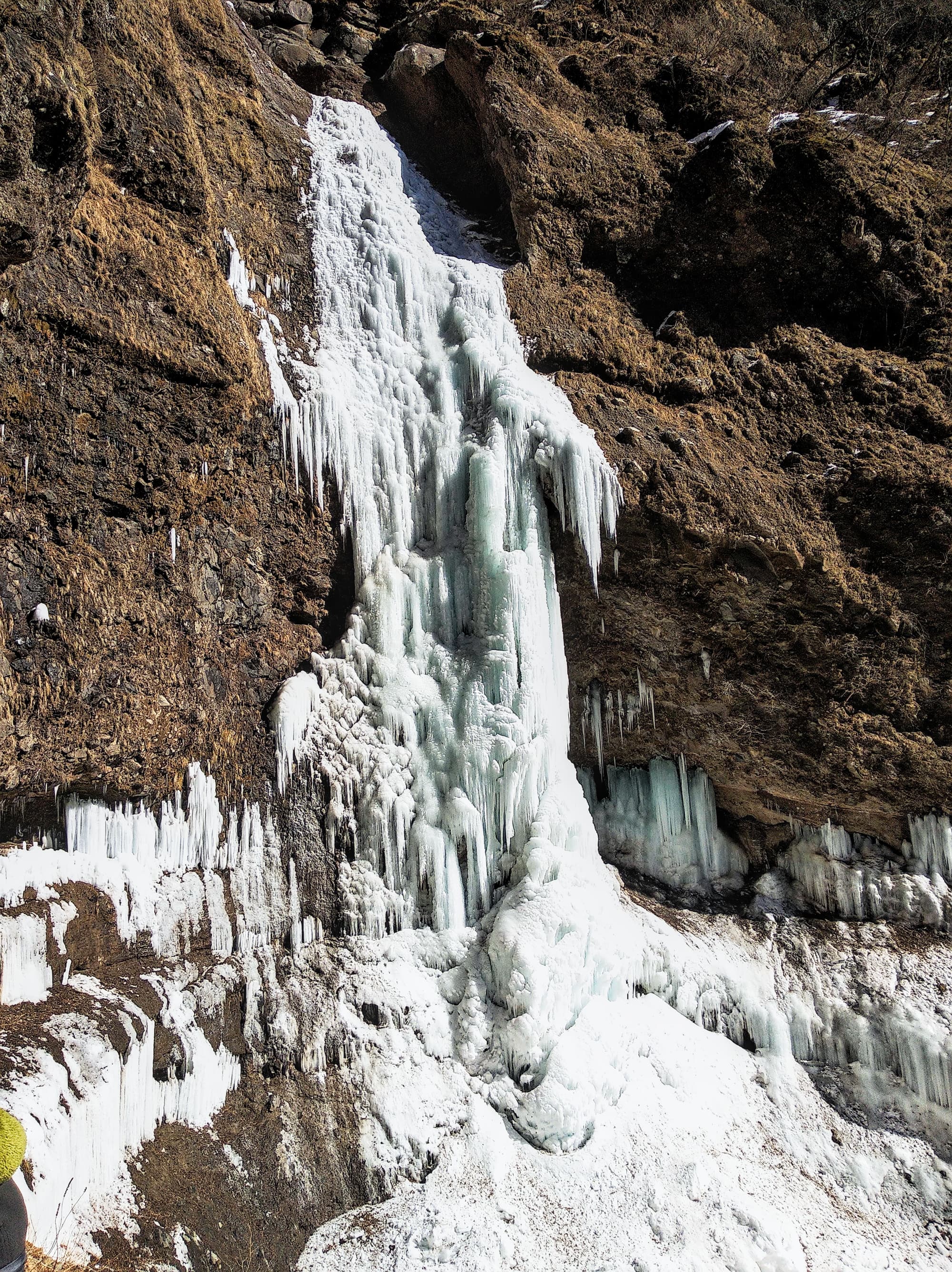
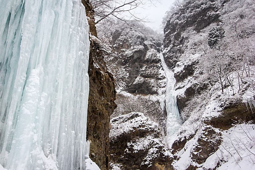
Dog Killing Waterfall
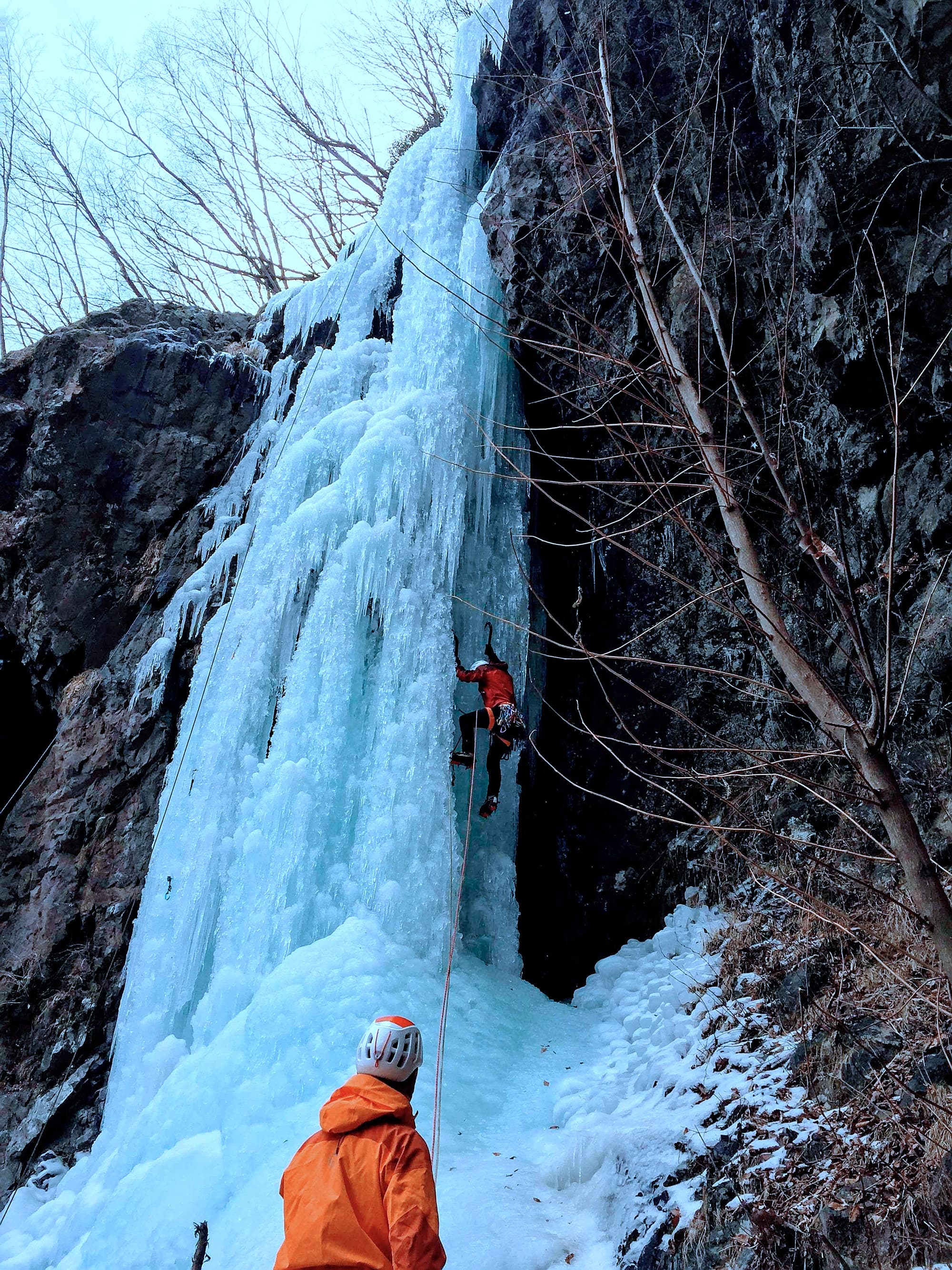
Dog Killing Waterfall
Dog Killing Waterfall

April’s Fool (エイプリルフール)
April’s Fool (エイプリルフール)
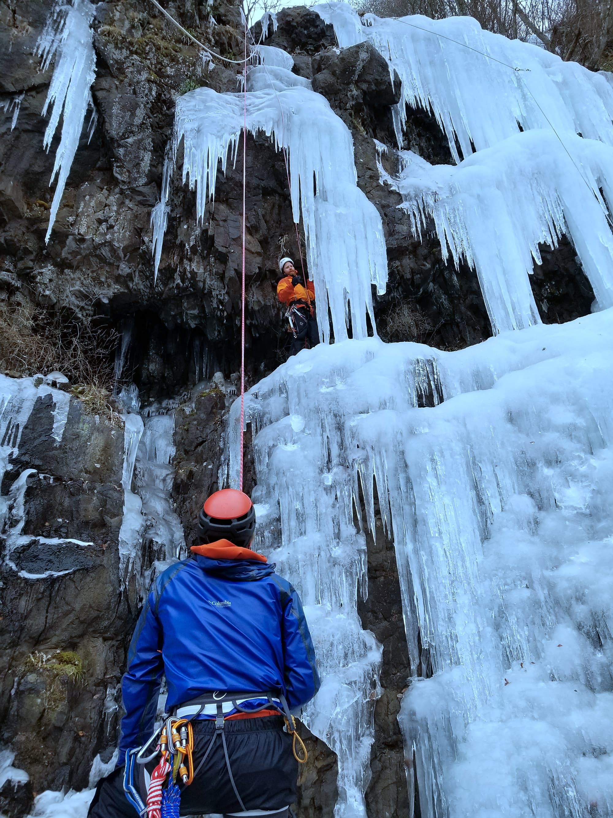
April’s Fool (エイプリルフール)
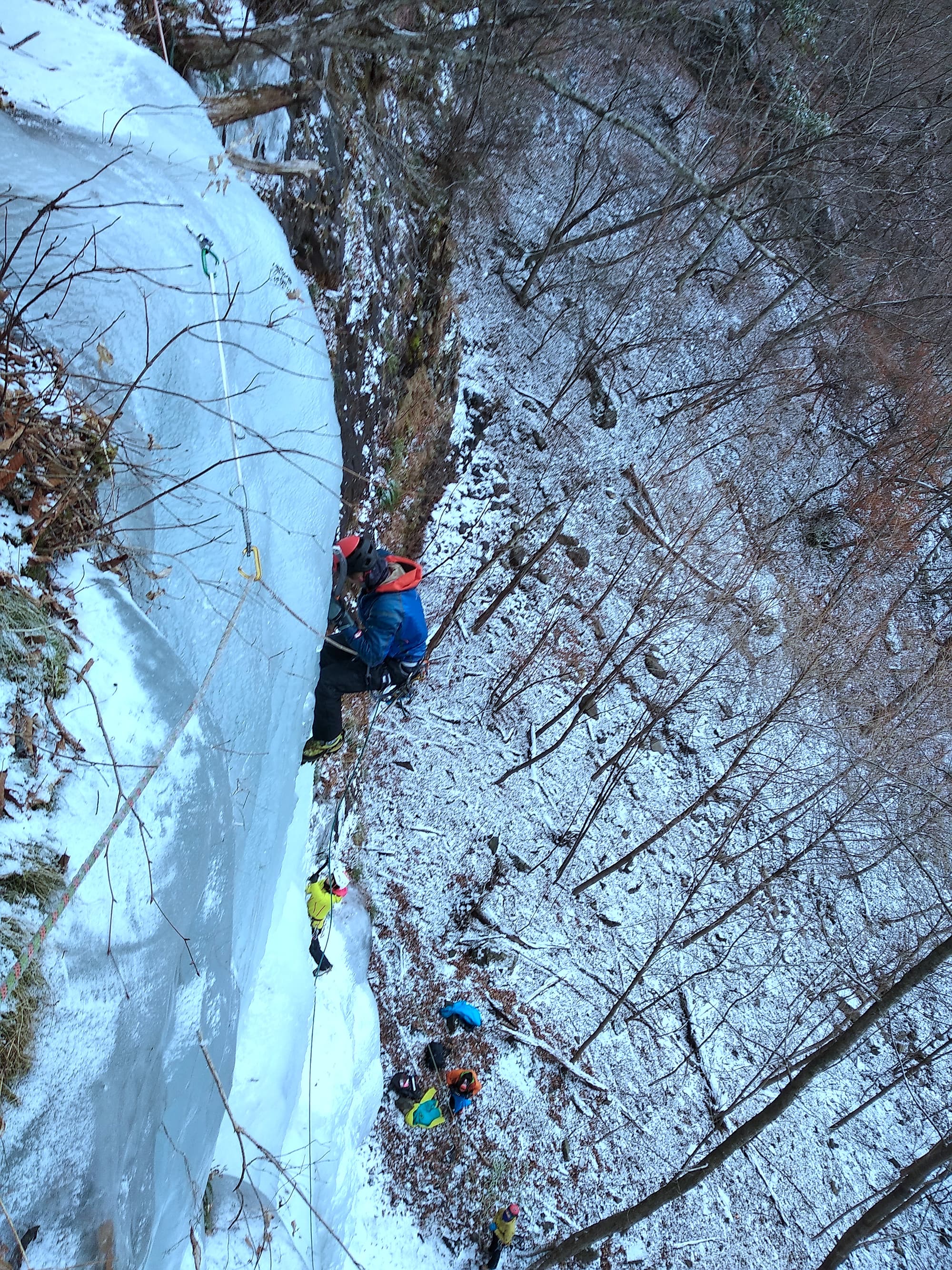
April’s Fool (エイプリルフール)
Aizawa Black Wall (相沢奥壁大氷柱)

Drying shoes
Unryukeikoku Falls (雲竜渓谷)
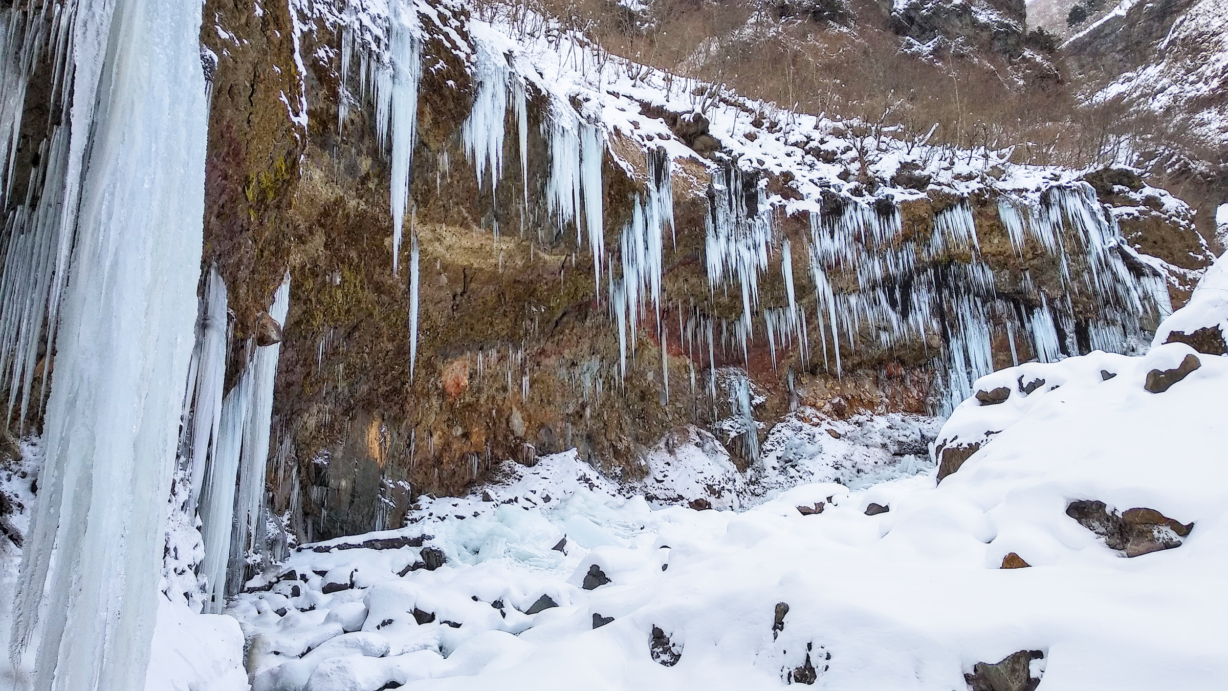
Unryukeikoku Ice Falls slowly forming - 20 December 2020
Credits: Arnaud TANGUY
- Access: From the trailhead parking Unryukeikokutozanguchi Parking Lot - 雲竜渓谷登山口駐車場, walk for about 2h until you reach the Unryu Keikoky Falls. Note that if the river is not frozen, the falls are very difficult to access as you have to walk above the river bed for a few hundred meters at the end (but in that case they probably aren't formed anyways).
- Best period: Might be in condition for a short amount of time around late January. The main fall takes the sun from around mid-day. The smaller pillars are somewhat more protected from the sun, but being freestanding structures they need consistent low temperatures. I tried going twice last year: 1 december 2020 (not fully formed yet) and 6th February 2021 (already melting). It seems that around the week of 15th January conditions were good.
- Information:
- Nikko's frozen waterfalls: Unryu Keikoku [japan-guide.com]: Excellent source of information and beautiful pictures (and I'm not just saying that just because the article was written by my good friend Joe Mignano).
- My own post written before winter

Leaving alone from the car with a heavy bag

Dam

Night bivy next to the falls
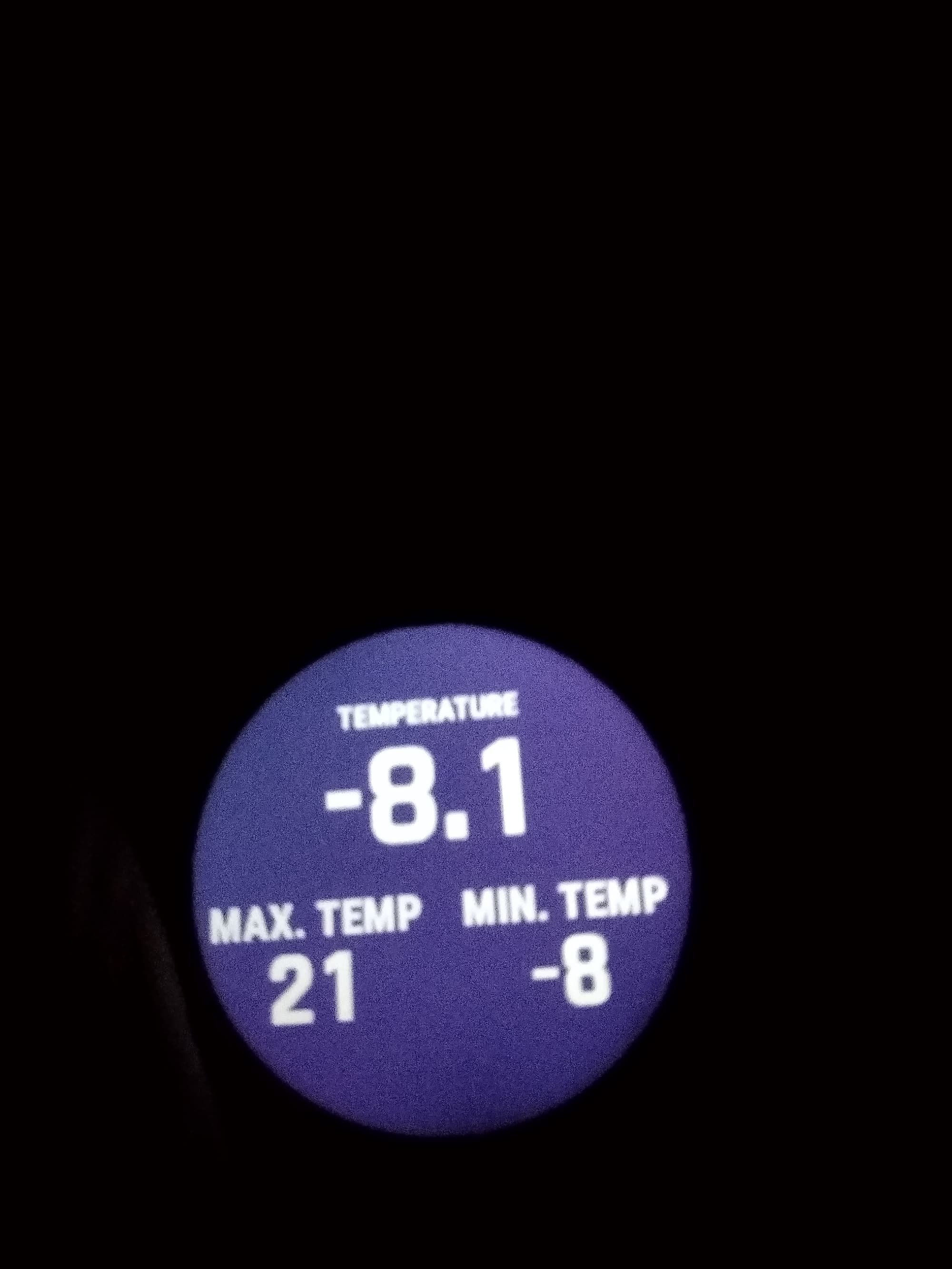
Cold, but not cold enough!
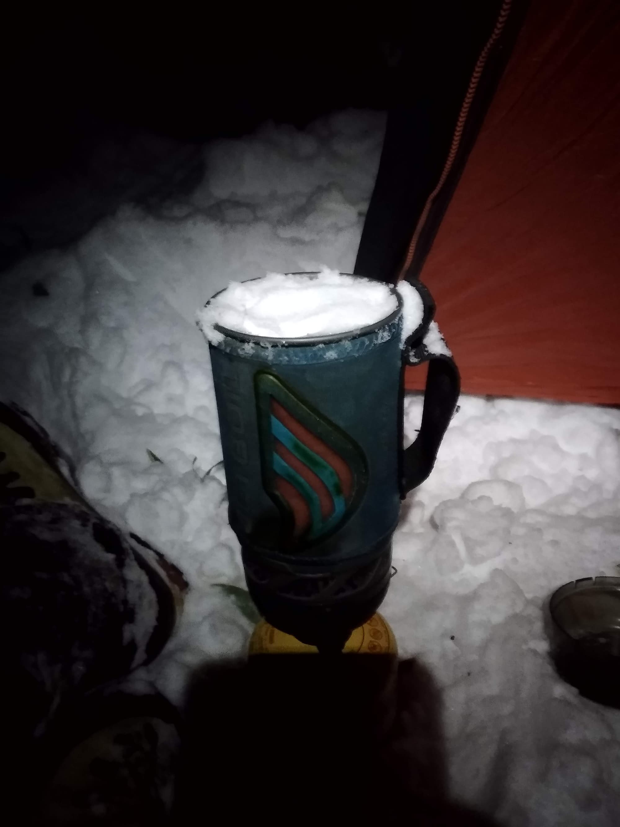
Melting snow
Februrary, and already melting!
Unryukeikoky: when in good conditions!
Unryukeikoky: when in good conditions!
Unryukeikoky: when in good conditions!
Unryukeikoky: when in good conditions!
Kaikomagatake
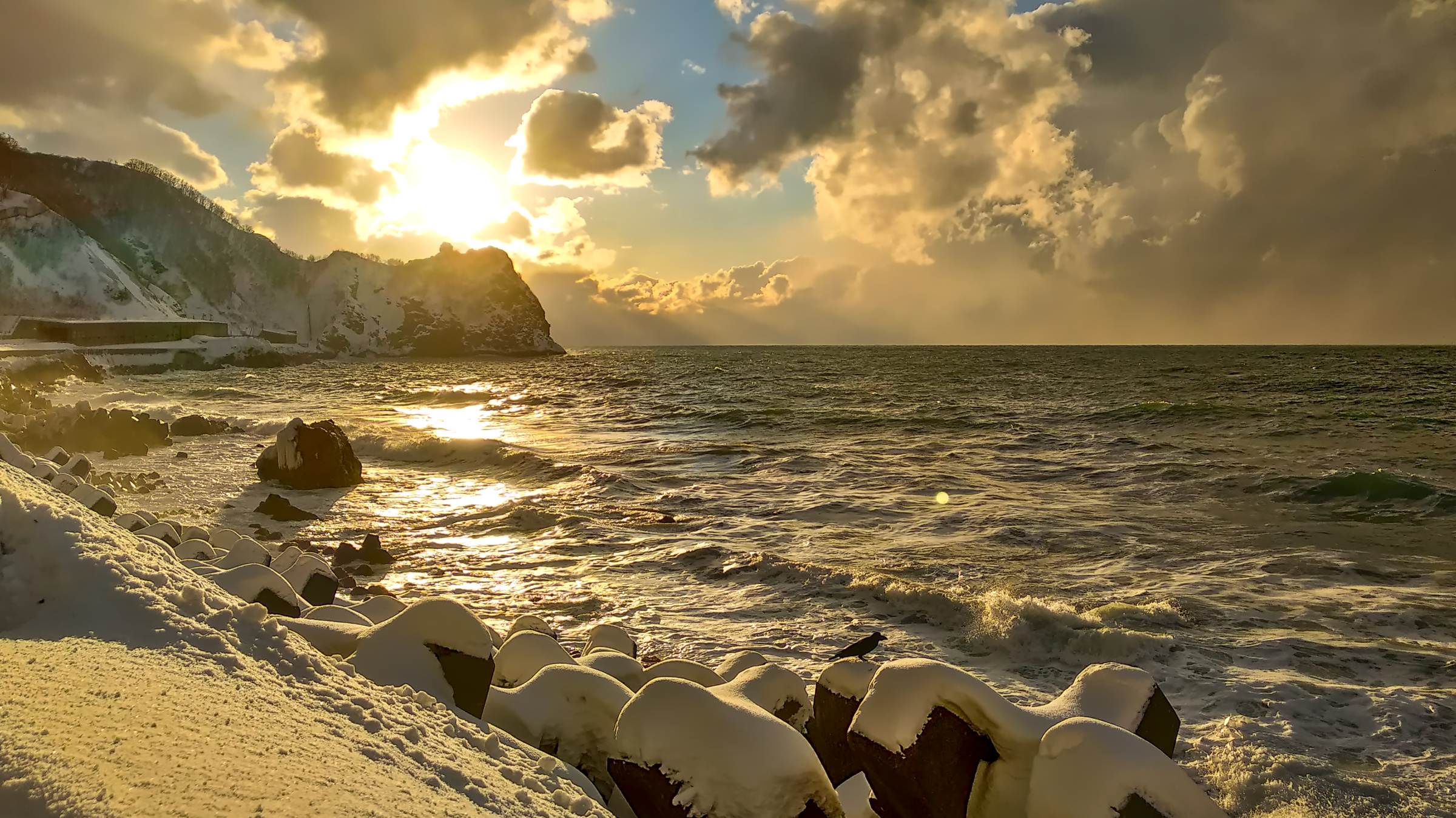
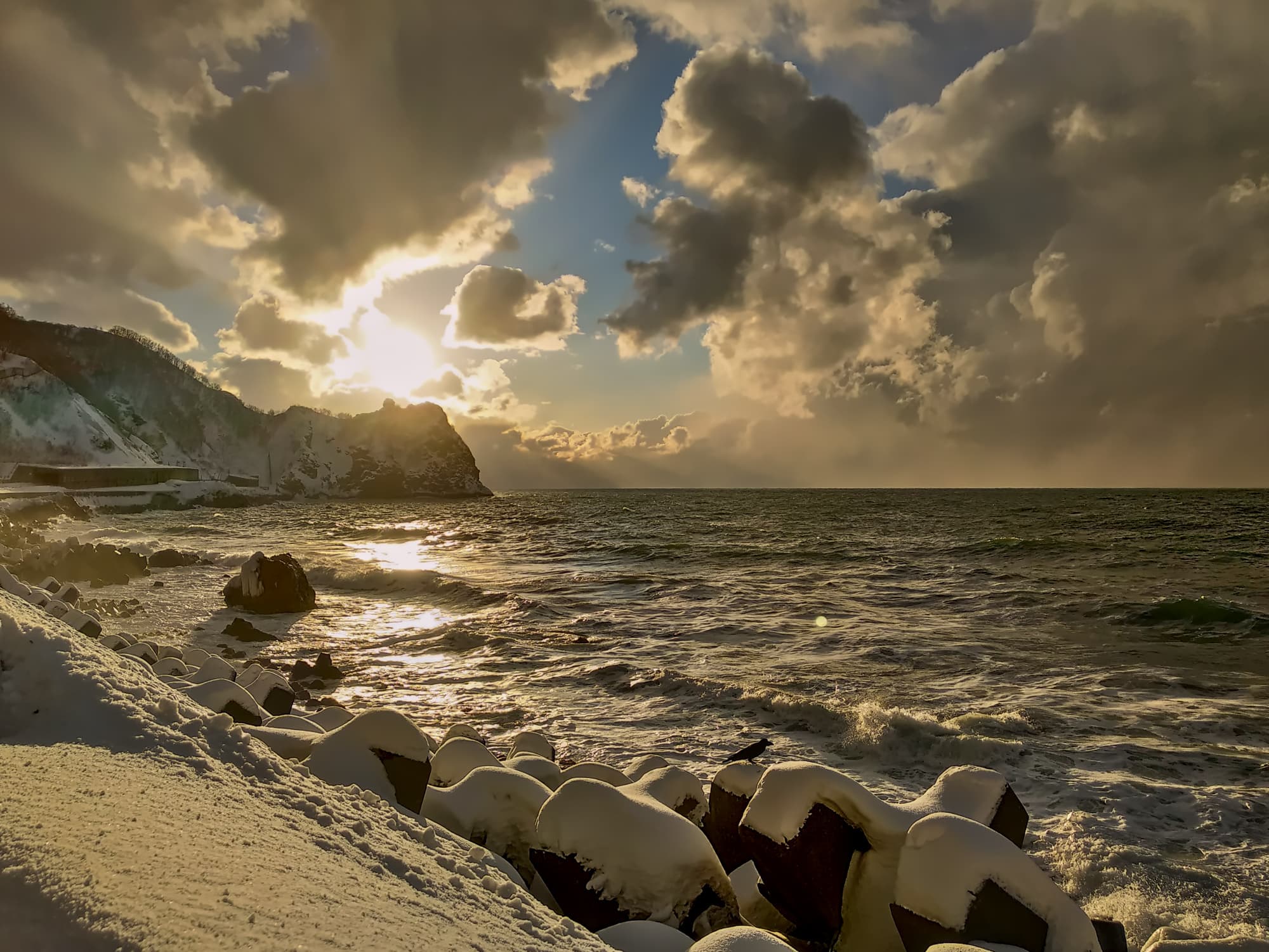
Sunset along the west coast of Hokkaido - January 2021
Credits: Arnaud TANGUY
Hokkaido
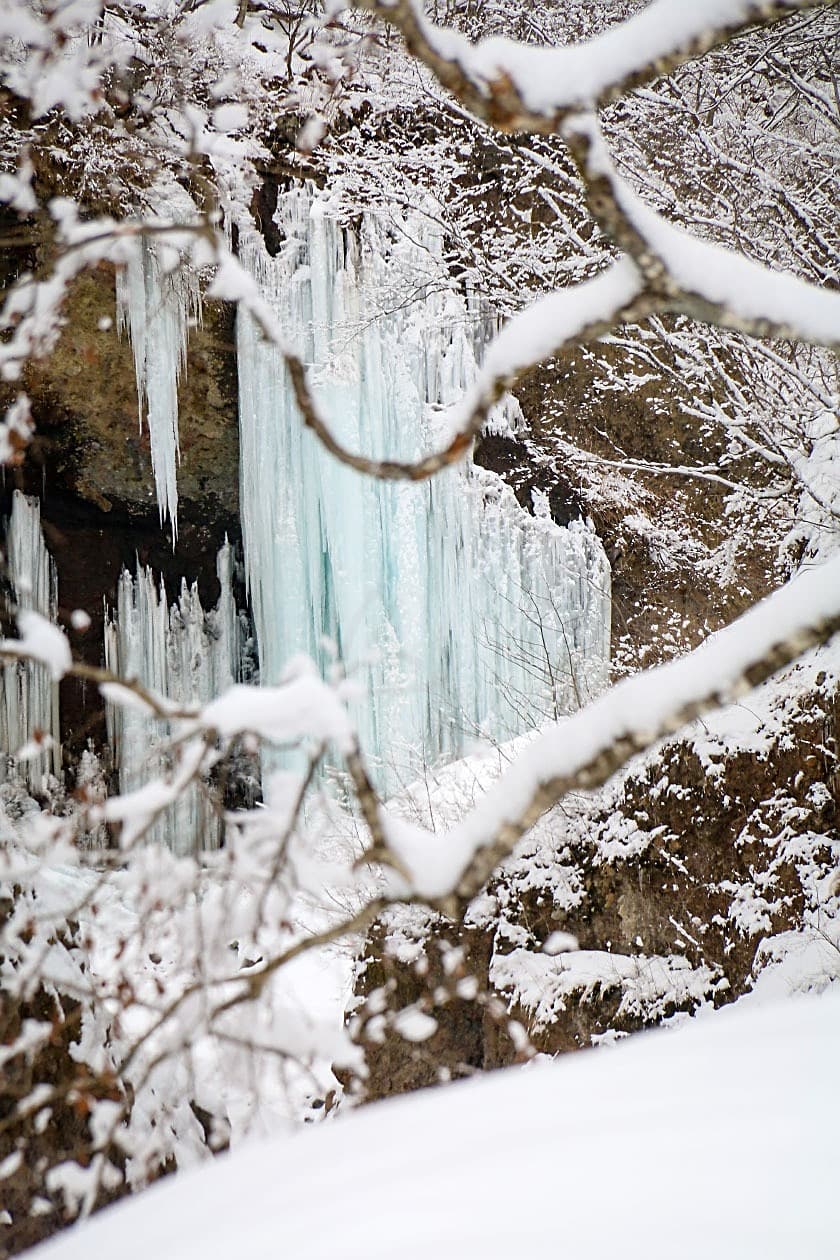
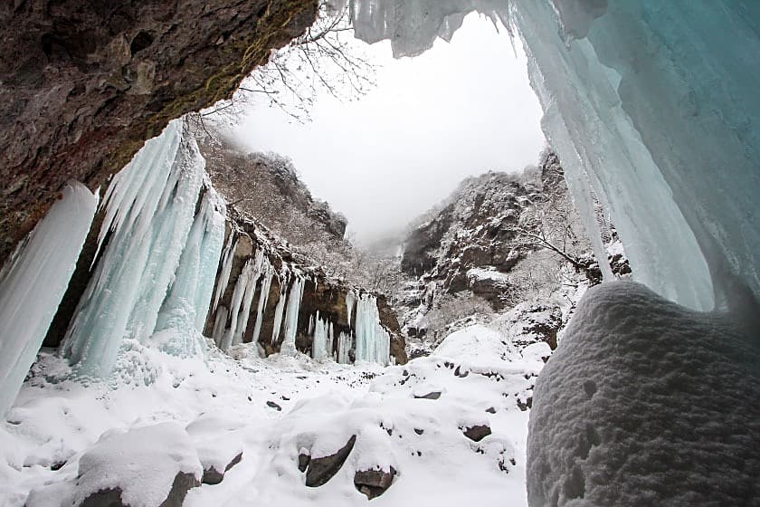
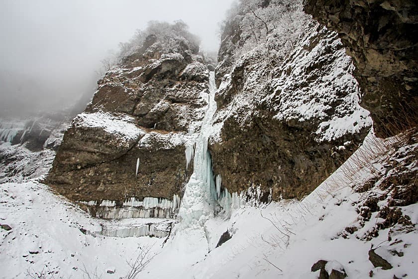
Sōunkyō Gorge (層雲峡)
- Access: Drive to the free parking lot Ginga Waterfall Parking Lot (銀河・流星の滝駐車場). The main falls Ryu Sei no Taki and Ginga no Taki are visible from the parking lot. Most falls are located along the Ishikari river, upstream from the parking lot. To access more remote falls, it is recommended to walk along the closed road on the right river bank (on the parking lot side). Note that you will need to find a way to cross the river as there is no bridge.
- Further information:
- Difficulty: Hard. WI4 and above
- Classic climbs:


Sadly, not fully formed yet!

Ginga no Taki

Ginga no Taki

Ginga no Taki
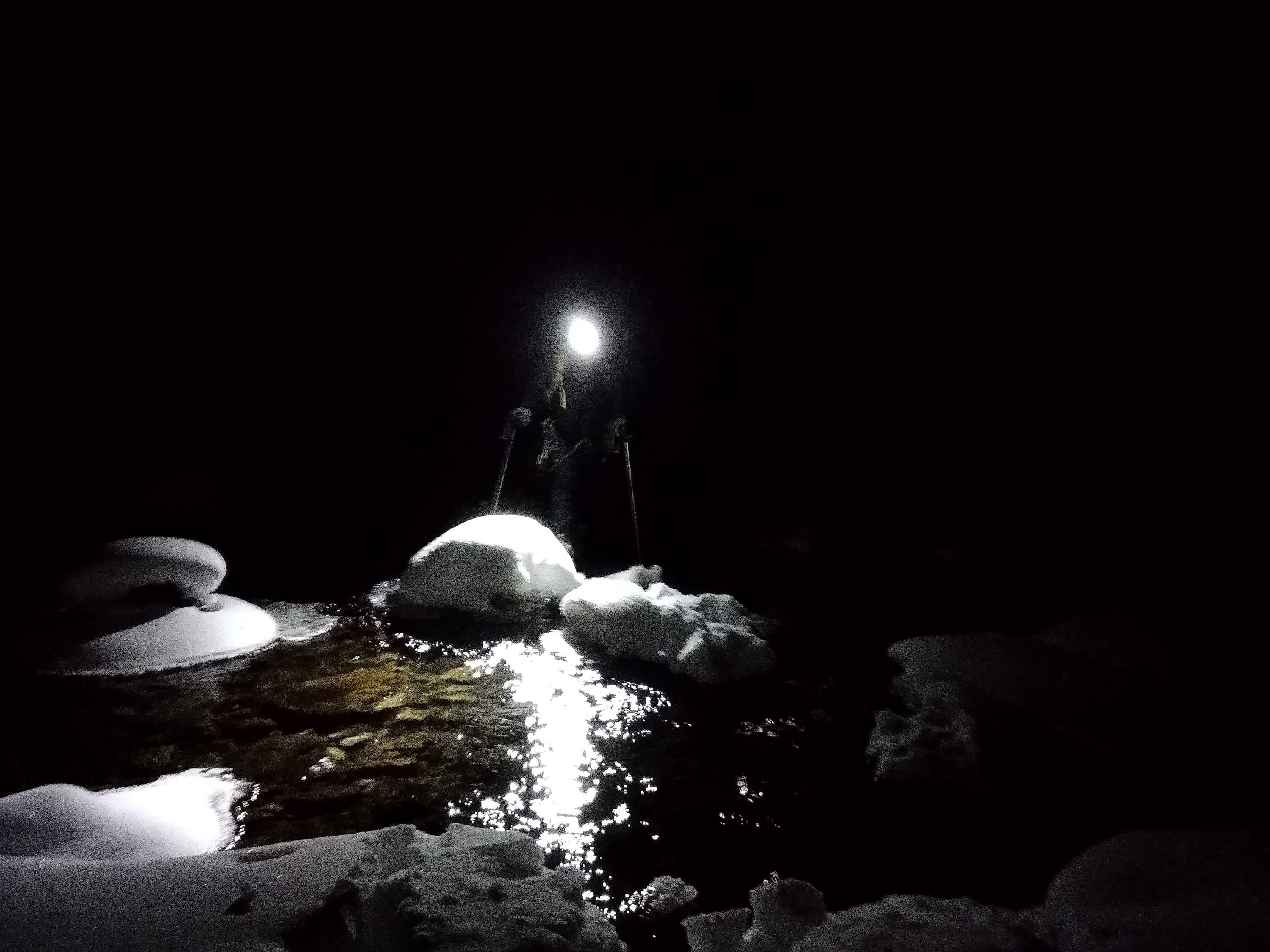
Xiaoyang crossing the icy river
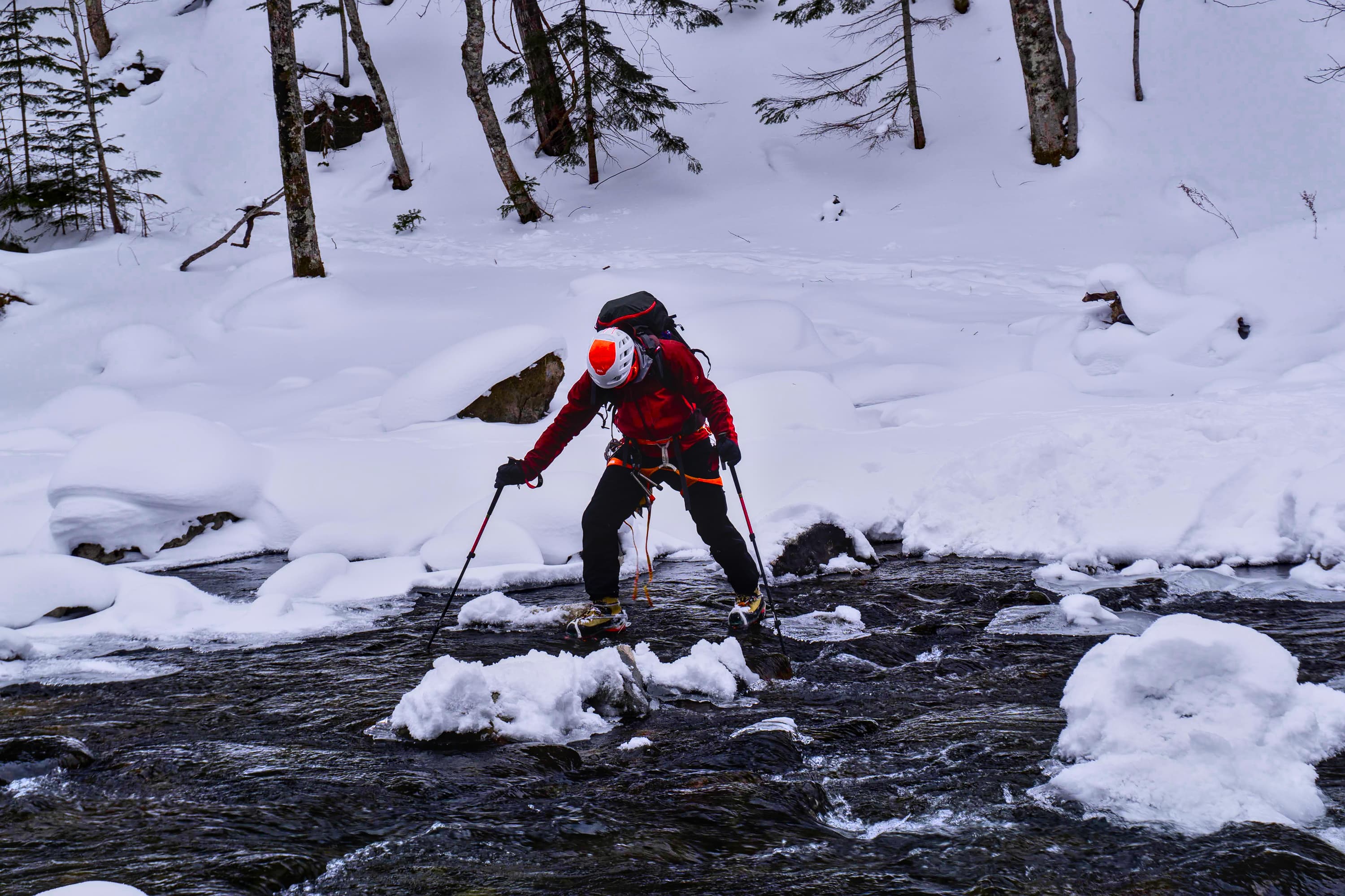
River crossing
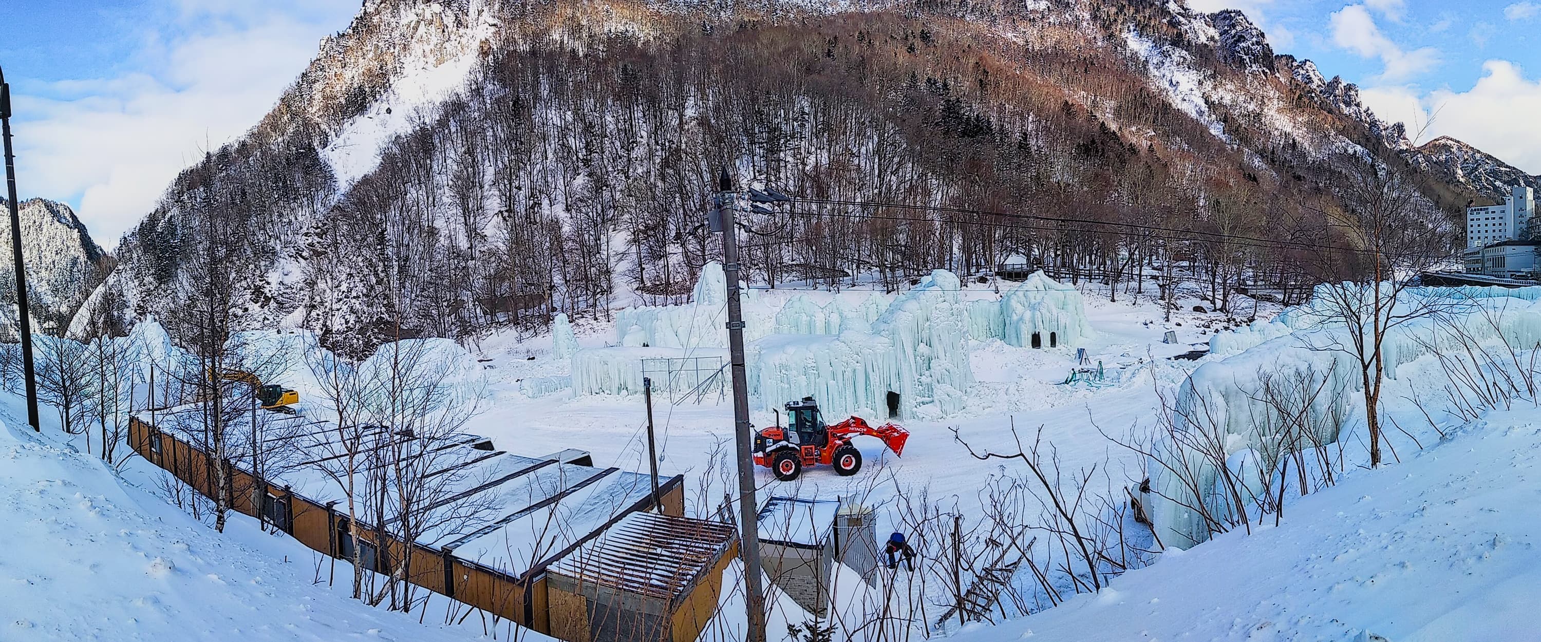
Sounkyo Ice Festival

Xiaoyang plowing through snow on the approach


Winter bivy on the way to Sounkyo

When you can't decide between skiing, ice climbing and traveling

River crossing on the approach to Ginga Waterfall - 07 January 2021
Credits: Gregor Neumann
Mount Raiden (雷電山)
- Access:
- Park at the free parking lot 敷島内 風の駐車場 along the seaside just after a tunnel's exit. The falls are visible from the parking lot.
- Walk above the tunnel to the left of the parking lot (facing away from the sea) and follow the most logical path towards the falls. There is about 300m of elevation through snow slopes. You can do it either with snowshoes or skis, but be aware that for the most part this goes through dense trees and bamboos.
- [GPX]: Don't follow the same approach path we did as we went too far to the right and ended up having to traverse and do a short rappel to access the fall. Instead follow our descent path.
- Difficulty: Very Hard. Multipitch, WI4+ to WI6

Car park next to the sea

Ski or snowshoes approach

Ski or snowshoes approach

Skiing, Ice Climbing, and the Sea, what could be better?

Kumamono falls (雲間の滝) - WI4+ - WI5

West coast
Somewhere between Sapporo and Rumoi
Somewhere between Sapporo and Rumoi
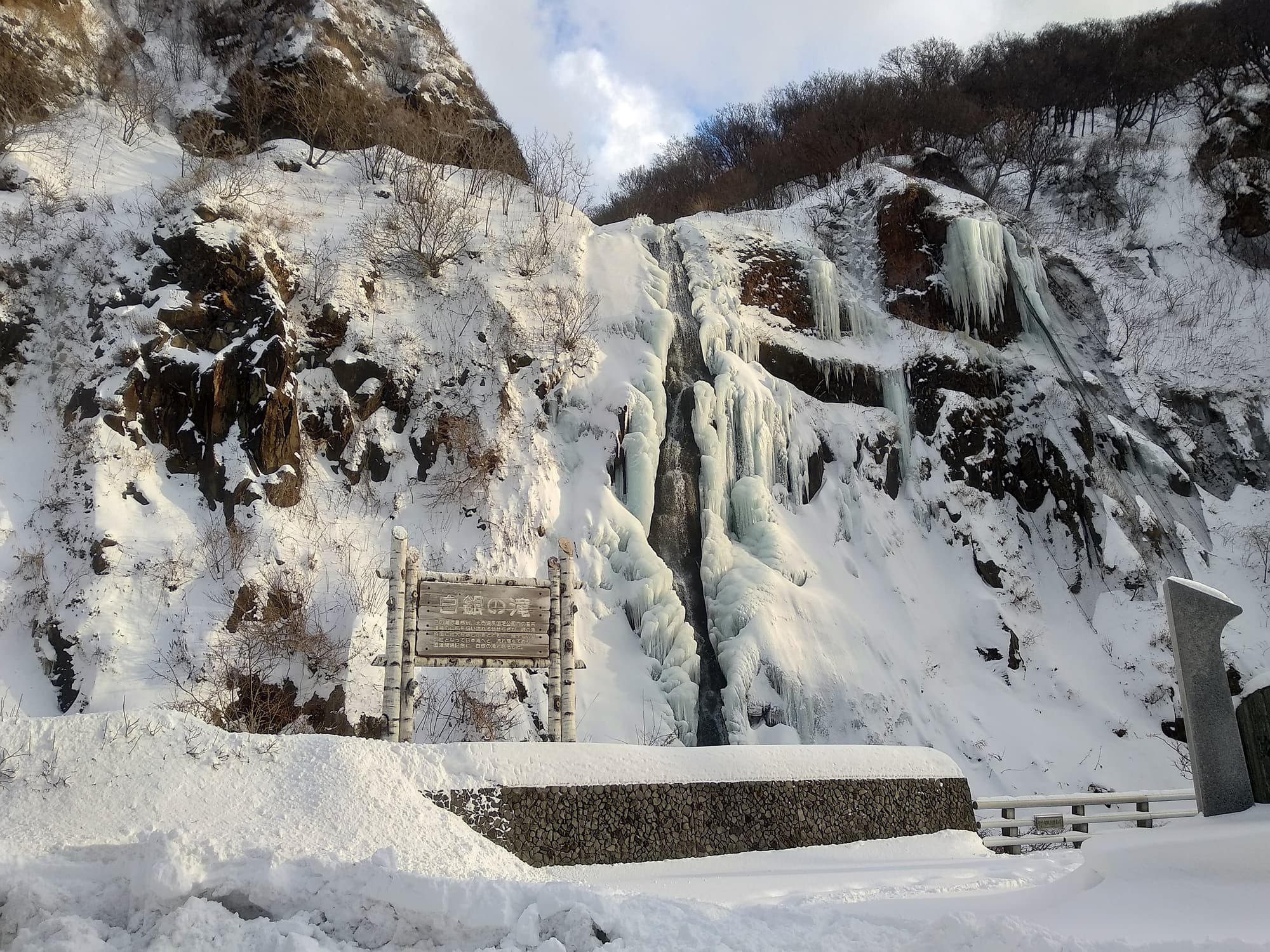
Shirogane Falls (白銀の滝)
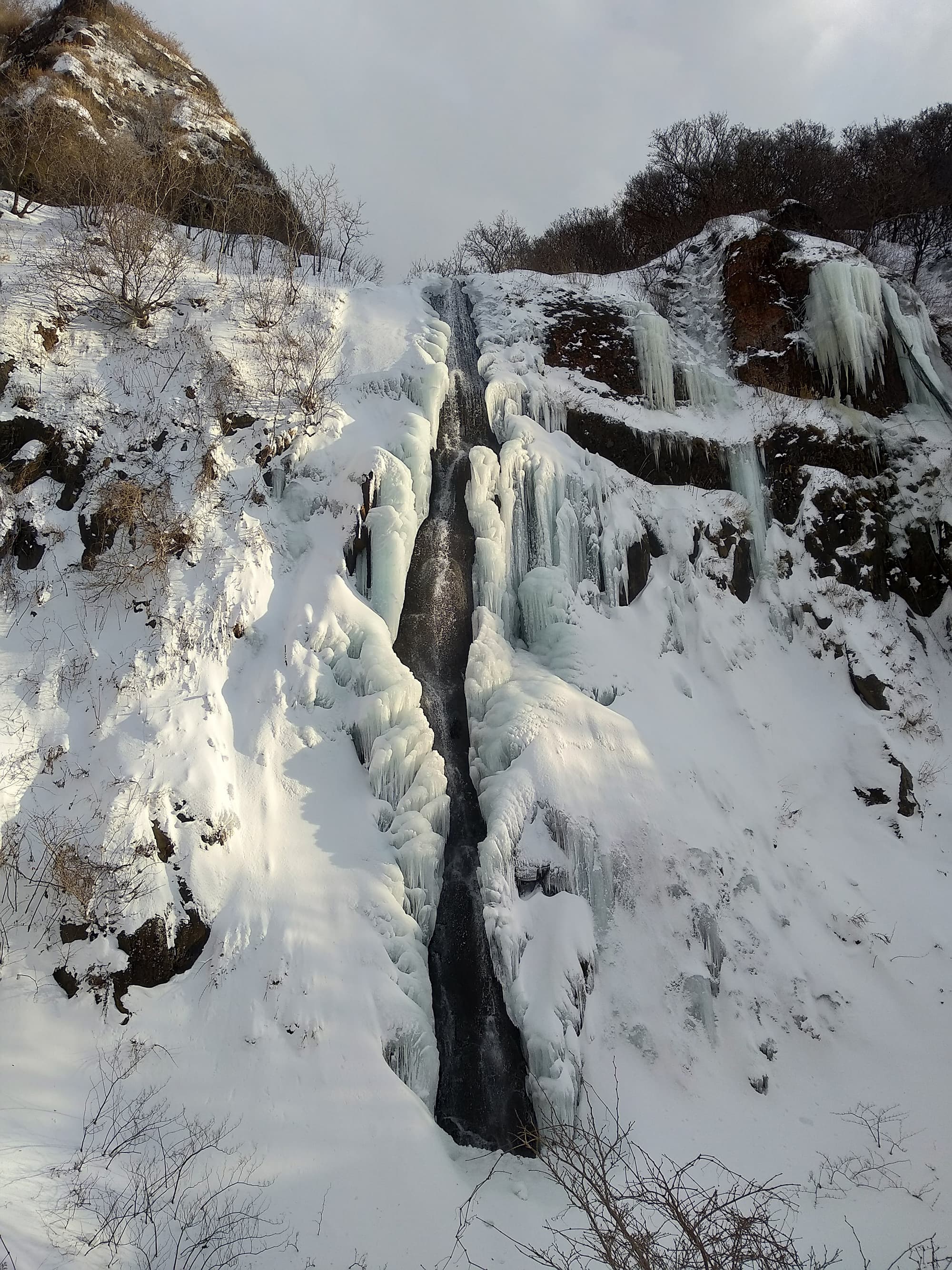
Shirogane Falls (白銀の滝)